
Dolly Sods Wilderness
Welcome to the Mountain Swamp
Hey! Did you know that swamps could exist at elevation? I certainly didn’t before I came to the Dolly Sods. I read trail notes saying that the route could be wet. LOL! This hike is definitely wet at all times of year. I am personally not a huge fan of hiking in wet or lowland areas. In fact, I don’t do any water activities that involve standing more than knee-high in water and necessitating waders or other similar equipment. No offense to these activities, but I simply prefer outdoor activities that get me moving across large distances in not that much time. Lots of water is an impediment to this goal.
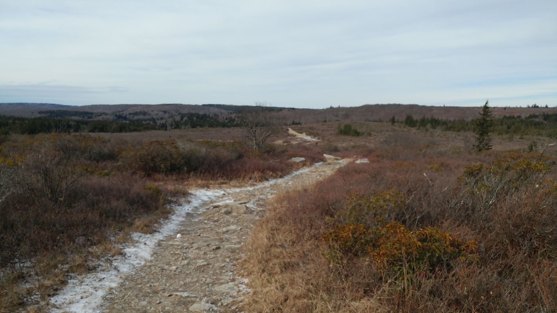
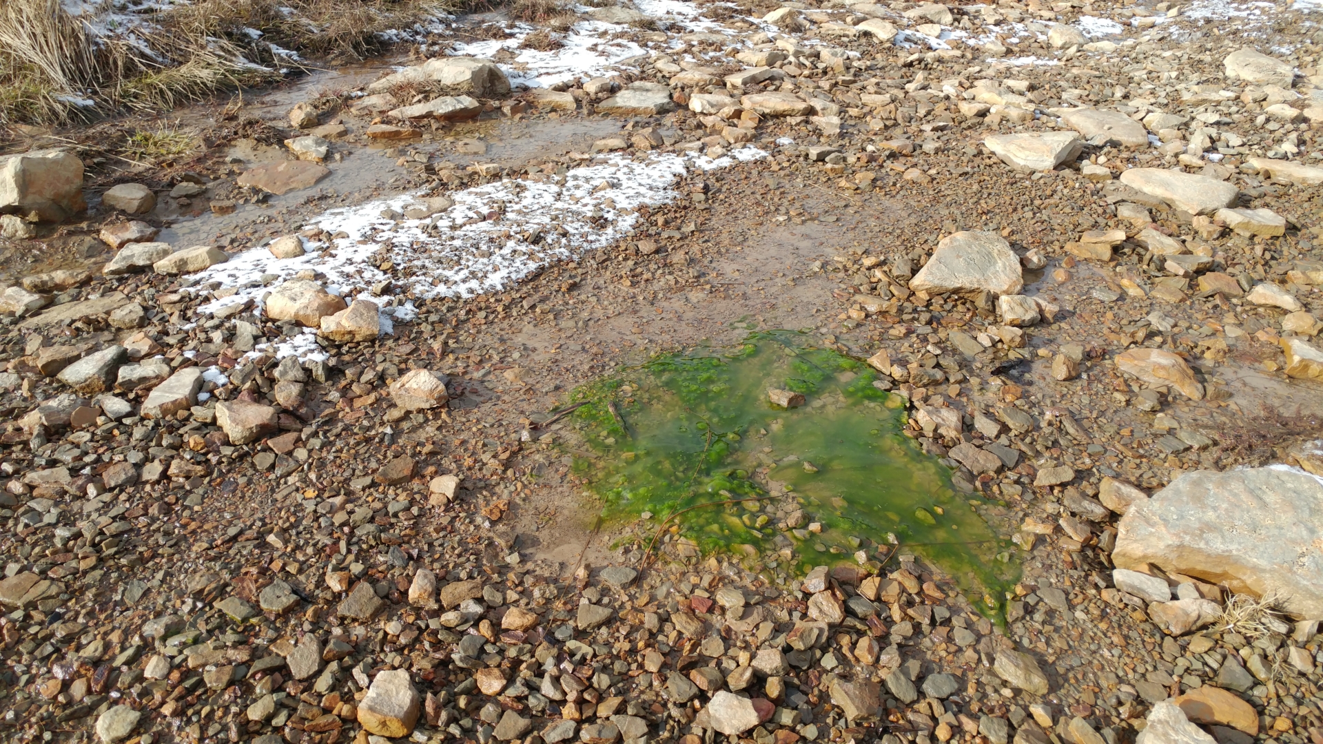
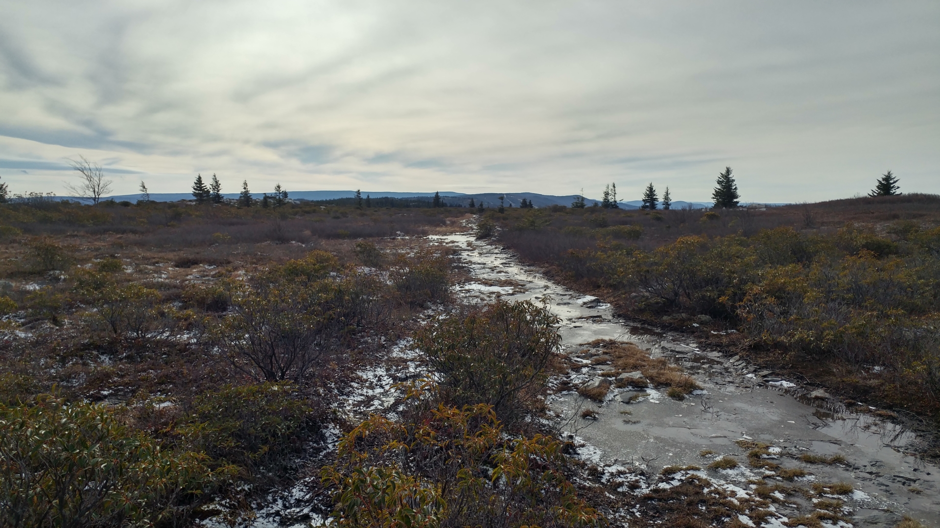
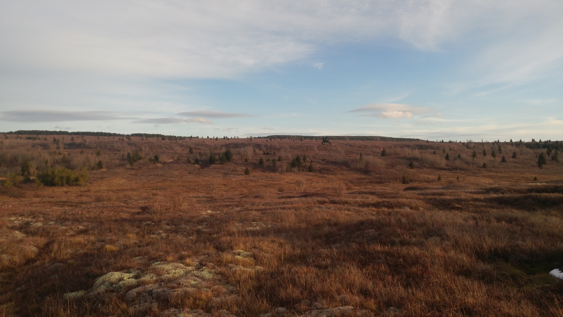
The word Sods is perfect nomenclature for this place. Sods, simply in its diction, connotes wetness. Basically, this area contains what are known as sphagnum bogs. Water collects in this area because the water source does not drain efficiently down the mountain. This is an oversimplification and Wikipedia does a must better job explaining this. In my crude way of describing things, I would say this hike is akin to being an ant and having to traverse a sponge that was submerged in water and left on the counter to dry. You just kind of have to find the dry ridges and gingerly make your way through.
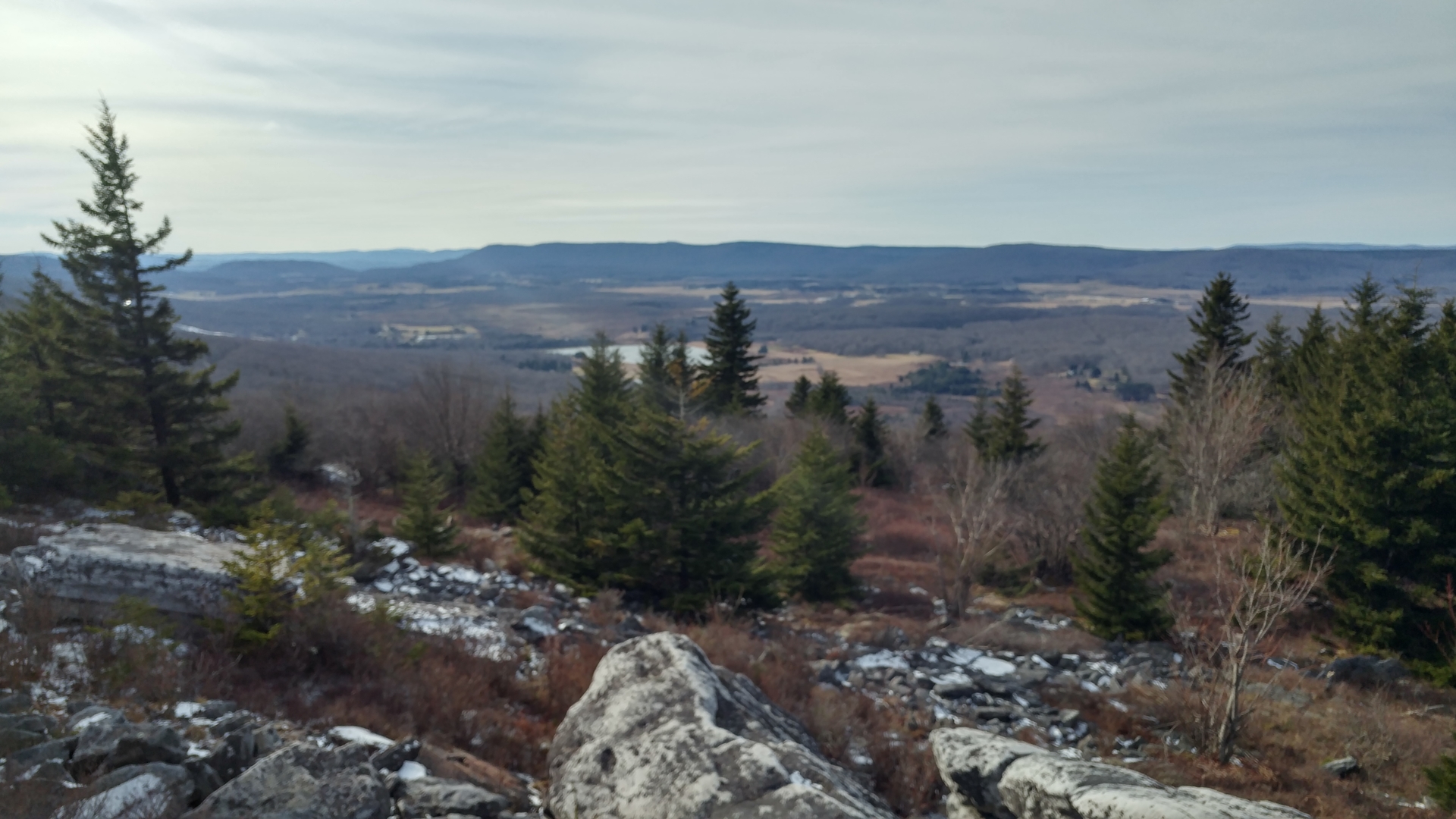
The result of this is an extremely unique landscape. The elevation and exposure give the trees and rock the typical characteristics of eastern alpine highlands with flagged trees, wind-swept rocks, and alpine vegetation. However, the extreme moisture lends to much more vegetation and varied wildlife than you’d normally see in an eastern highland area. The hike, though honestly unpleasant at times due to its extreme wetness, was undoubtedly distinctively beautiful.
Starting the Hike
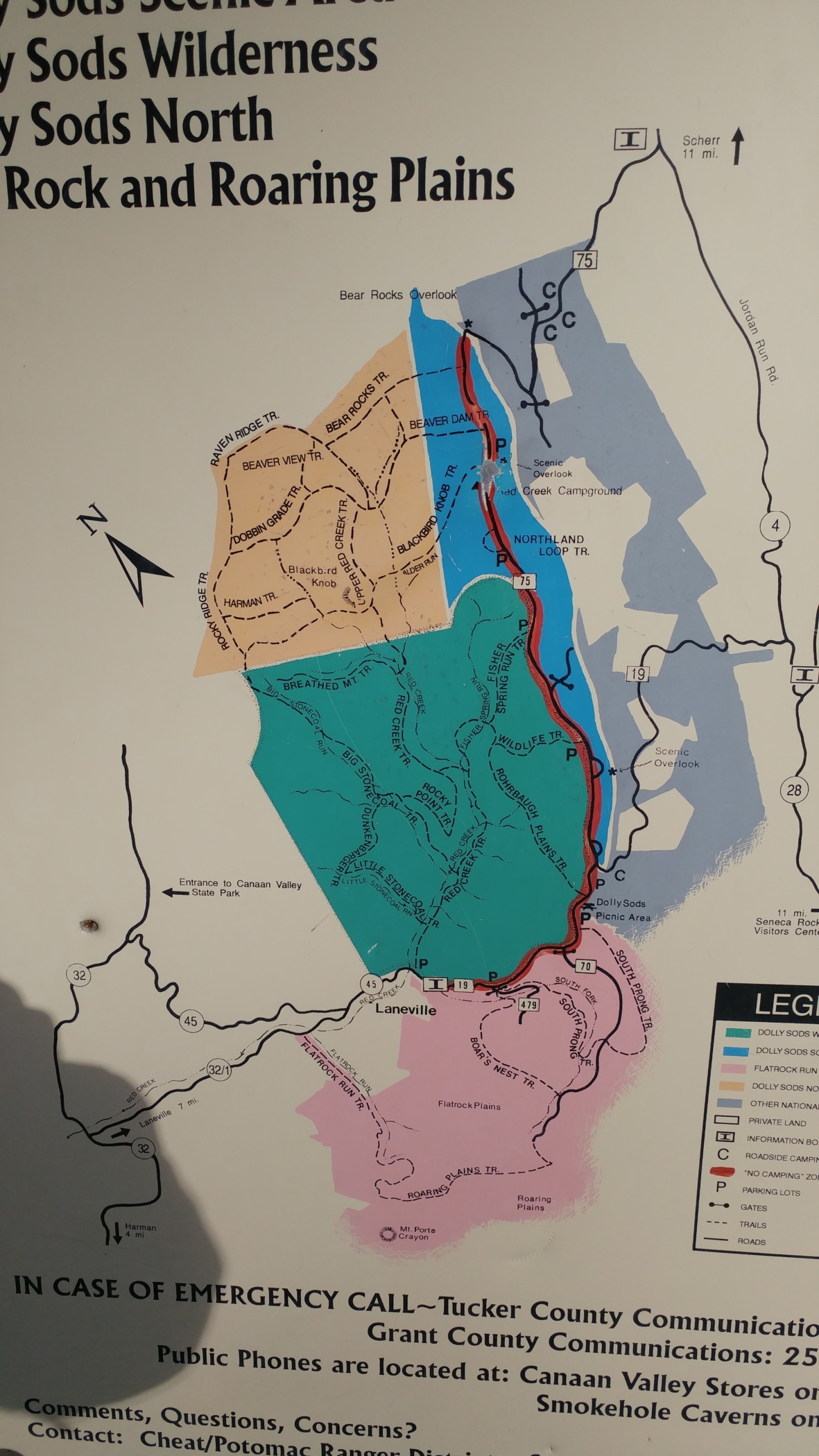
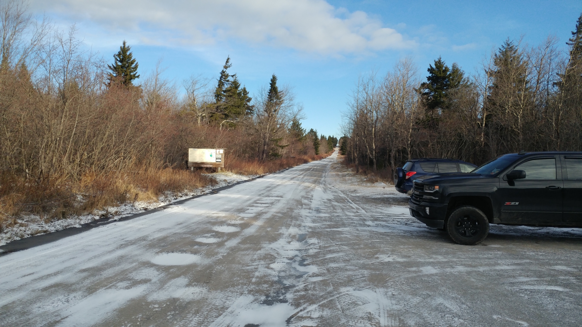
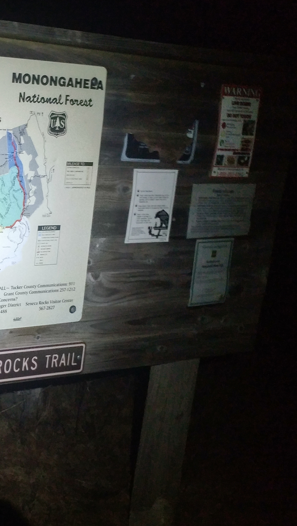
West Virginia’s state motto is Wild and Wonderful. I think they take this to heart in their park system. From the road leading into the Monongahela National Forest to the trail systems themselves, there is very little attempt to coddle the visitors. The roads are full of potholes and deep ditches, and the trails are not marked at all with either blazes or cairns. There are only signs where trails intersect. Similarly, there were not many restrictive backcountry rules like in other park systems. I loved it for the freedom they give you, but at the same time it tests your self-reliance more. This kind of laissez-faire attitude give you the freedom to enjoy the backcountry your way, but at the same time it gives you more freedom to get in trouble.
This was evident from the get-go. My original intention was to use the Blackbird Knob Trail to go up and over the Blackbird Knob before heading into Dolly Sods North, where I would use the Bear Rocks trail system. The total loop was supposed to take 14.6 miles. However, the Blackbird Knob Trail is thin and was covered in a dusting of snow. Due to the lack of blazes or other markers to indicate my way, I lost the trail several times within the first mile. It was obvious that I simply could not make my way using this route due to the lack of navigation. So, I had to make my way back and use an alternate trailhead at a higher elevation.
I decided instead to do a loop of 12 miles starting at the new trailhead. Unfortunately, I had lost over 2 hours trying to navigate the Blackbird Knob trail and it was approaching noon. Noon, by the way, is a bad time to start an 12-mile hike. So, the main worry at that point was finishing on time.
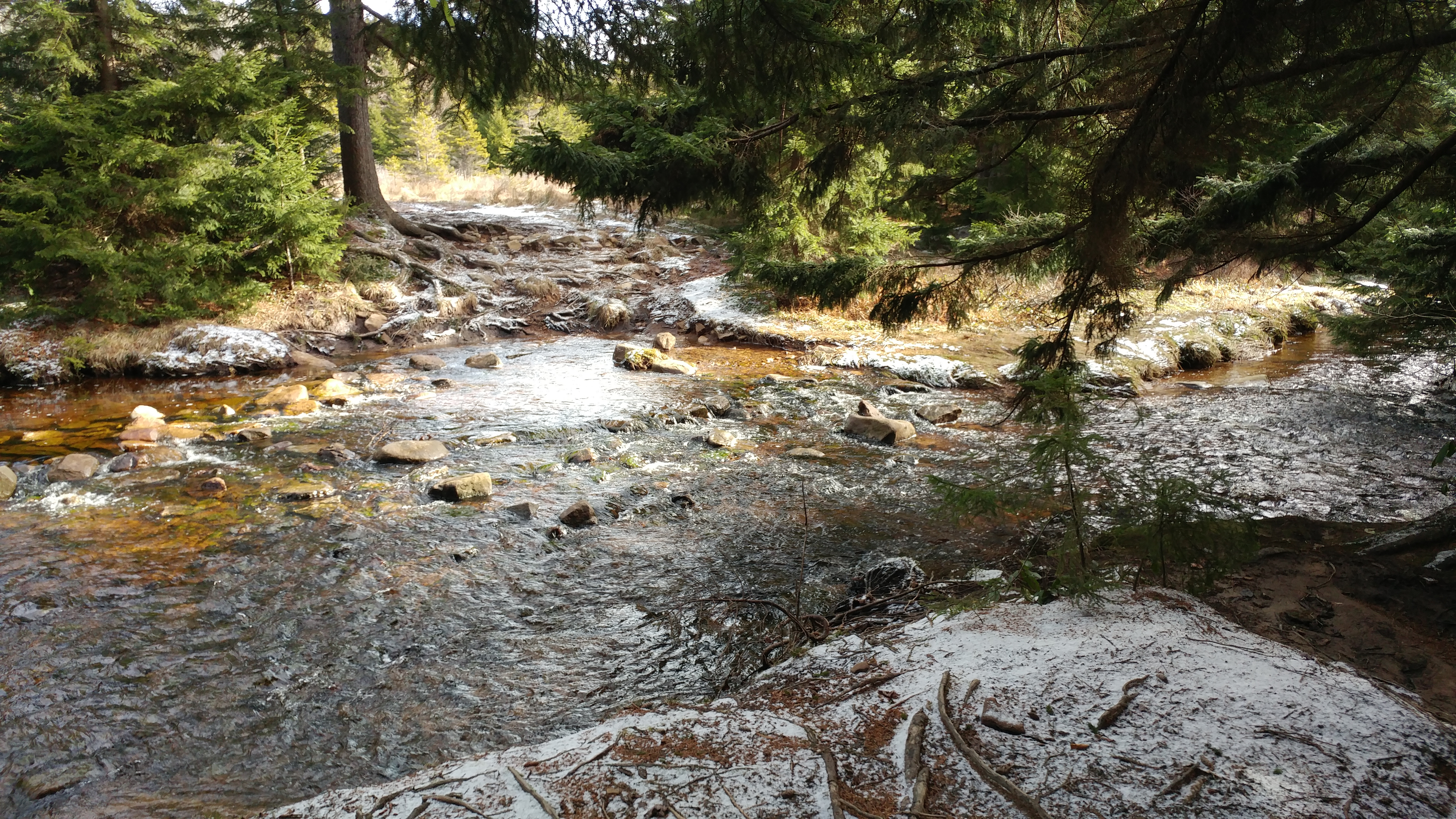
The 12-mile loop goes counterclockwise, with the first half using the Bear Rocks Trail and then the Rocky Ridge Trail. Hiking the first half was not a huge issue. It was definitely wet, but manageable. My waterproof boots were keeping my feet dry as advertised, though I had never tested the GoreTex as much as I had today. It’s windy but not uncomfortable, and I’m overall having a pleasant time.
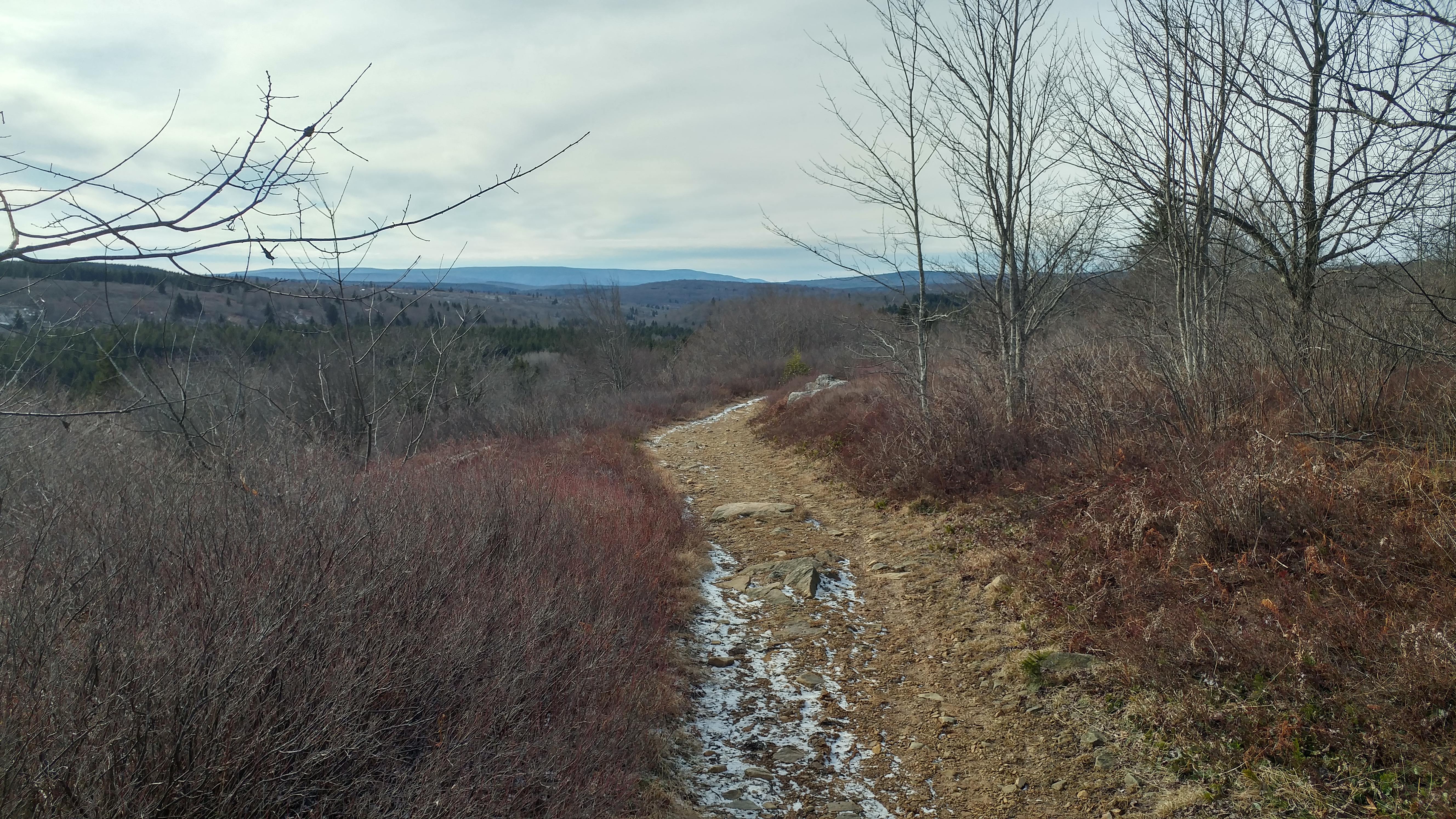
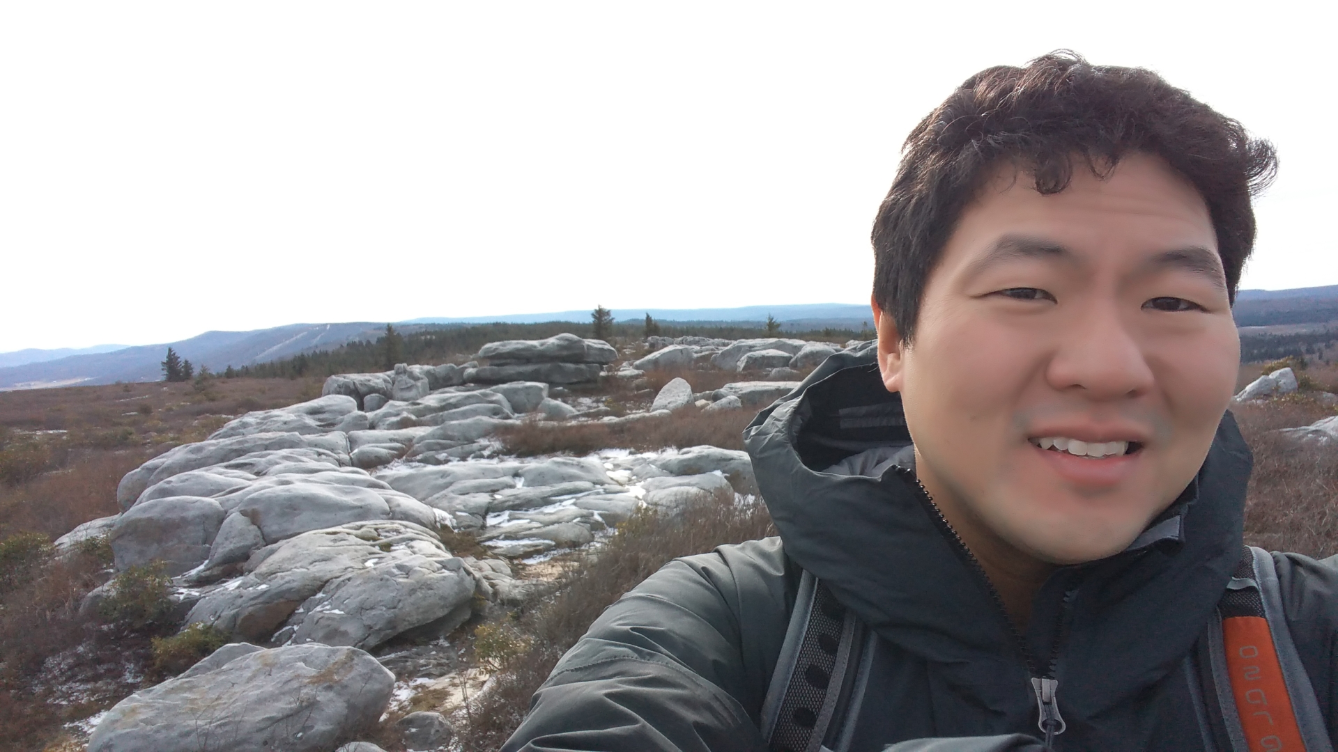
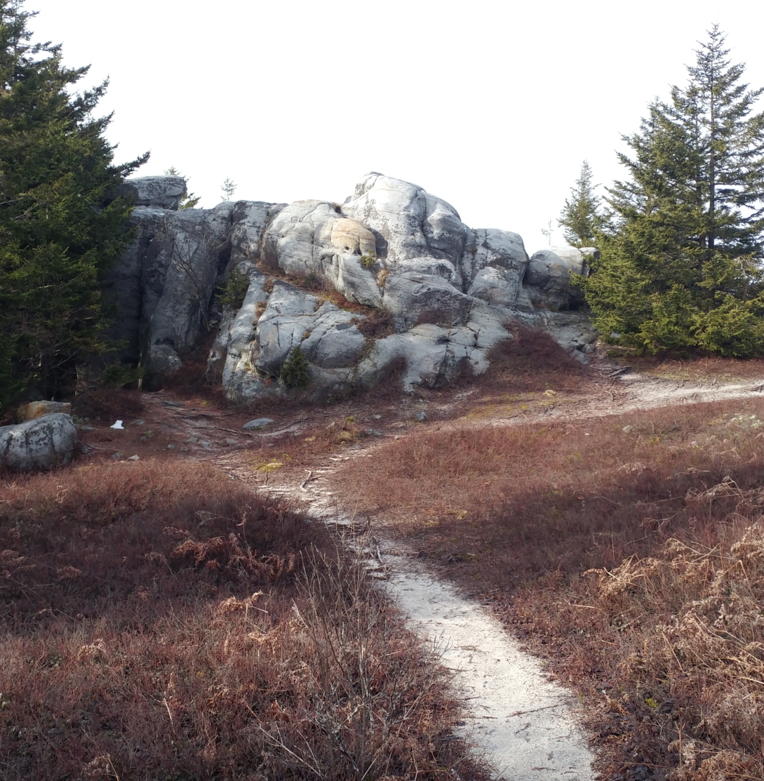
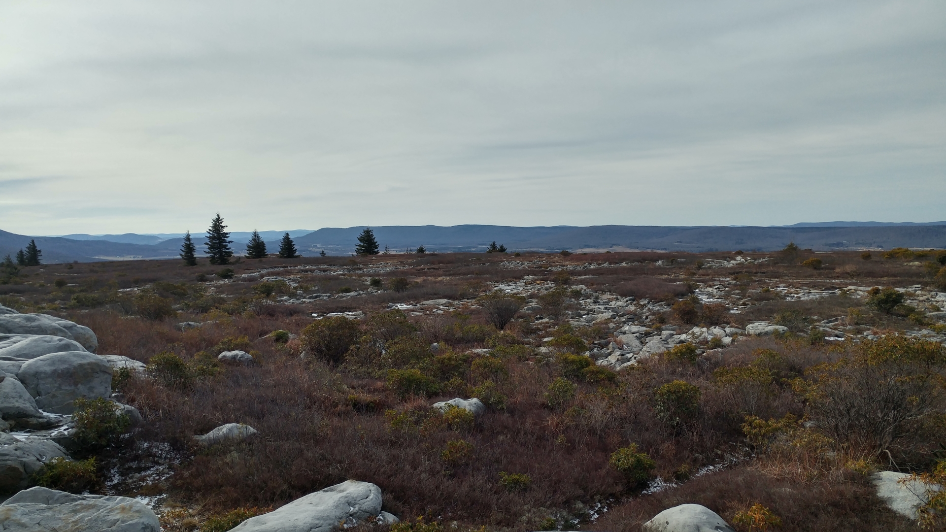
The Rocky Ridge trail is an interesting rock scramble of little difficulty. It switches between forests and sections of smooth, wind-swept rocks. From this trail, there are excellent views of the Canaan Backcountry that lies to the west of the Dolly Sods. I haven’t seen another person for a couple hours at this point and I’m about to reach the halfway point. I look at the time and it’s about 2:00 pm. Since I started the hike at 11:30, I figure that I’d be done by 4:30 or 5 at the latest. Satisfied with my timetable, I put my pack down, find a dry area within some trees to protect me from the wind, and have a peaceful lunch.
Following lunch and the Rocky Ridge Trail, the loop required me to take the Dobby Grade Trail to return back east to the trailhead. This would constitute much of the lower-half of the counterclockwise loop. Close to the beginning of the hike, I ran into two hikers finishing up their trip and on their way back to the trailhead who warned me to avoid the Dobby Grade Trail at all costs. They were emerging from a more eastern section of that trail than I would be traversing and also, in my arrogance, thought they were being amateurish. However, I should have listened to them and just turned around to come back using the same way.
To summarize, the Dobby Grade Trail is a miserable swamp. I’m glad that I hiked it just to say that I did and also to experience a highland swamp for the first time. But yes, it’s just miserable and wet. Due to the fact that much of the trail is literally underwater, it was also really hard to navigate and I lost the trail several times. Due to constantly needing to check my bearings and due to the fact that almost every step went at least ankle-high into water, my progress slowed tremendously.
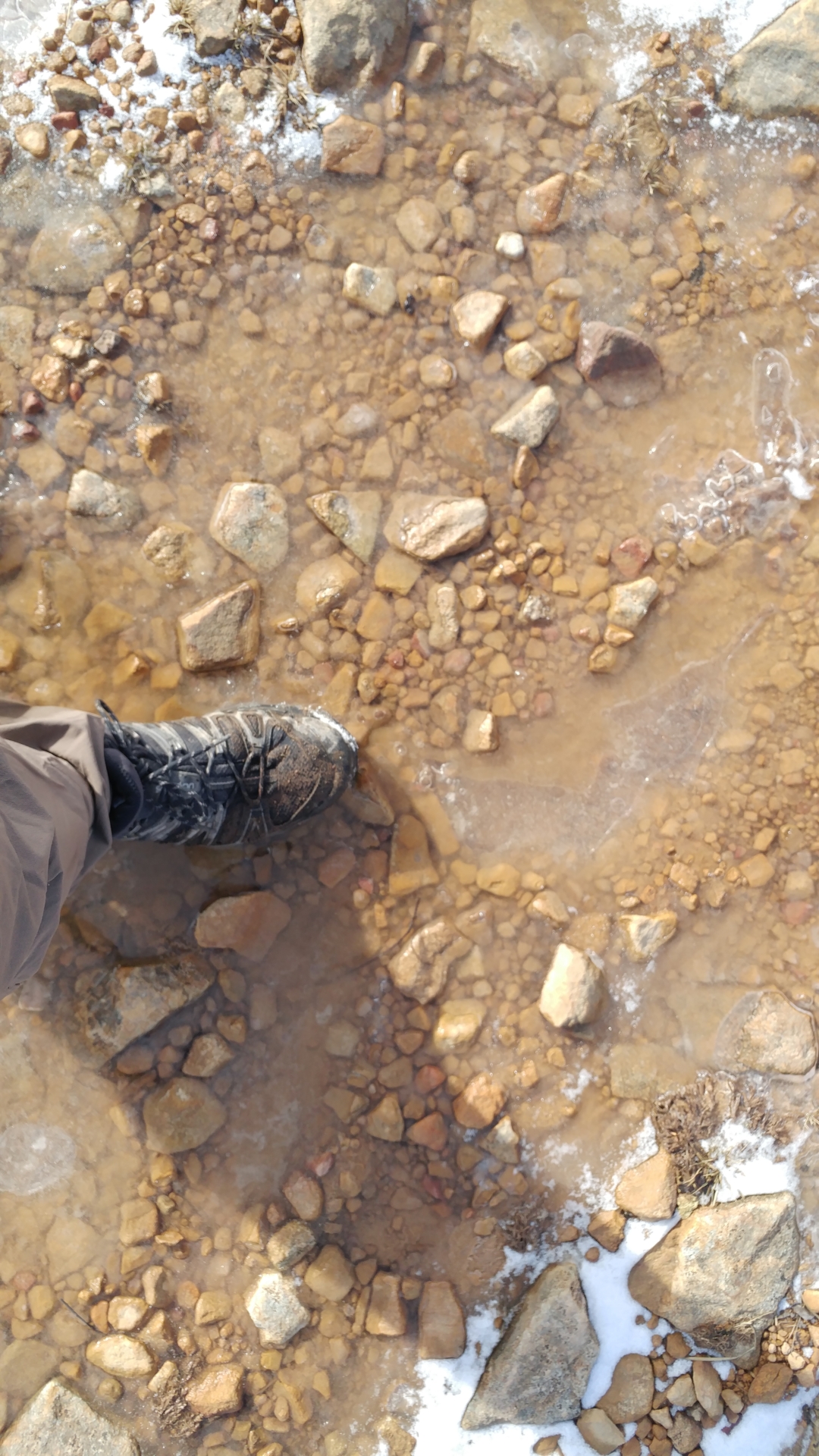
4 pm approaches and I’m still over 3 miles away from the trailhead. I get a bit worried because the light’s starting to fade and the trail does not seem to improve at all. This is when the unthinkable happens and I take a spill into chest-high water. I stepped into what looked like the same soggy stuff I’d seen all day covered with shrubs and vegetation. I figured I’d be ankle deep. However, I managed to step into and fall into a hole at least 5 feet deep. I happened to be recording video at the time:
Following this, I start to freak out slightly as I’m soaked now from my armpits down. Keep in mind that it is in the 30s and quite windy. My phone, as well, gets soaked. This causes me huge worry because I was depending on the Here Maps app to help get me through this section since the trail was so difficult to navigate. I feel lucky that my phone still works – though it is acting a bit haywire.
It honestly takes me a couple minutes just to regain my composure after the shock of the cold water. I concentrate first on drying my phone. Though the outside of my backpack is soaked from the outside, it is waterproof and I manage to dump my phone in some extra socks I have inside. All my clothing, also, is waterproof. I have to hand it to the good gear I had from REI, Solomon, and Osprey. When they manufacture something and say it’s waterproof, it’s waterproof!
Within 20 minutes, I was dry and I’d put the ugly episode behind me. However, I’m spooked and I’m wary of every step. Any step that looks iffy I approach with extreme caution. When I finally got off of the Dobby Grade Trail, I gave two middle fingers to that miserable swamp. I was at the 2nd-to-last junction before finishing. However, I was still 3 miles away from my car.
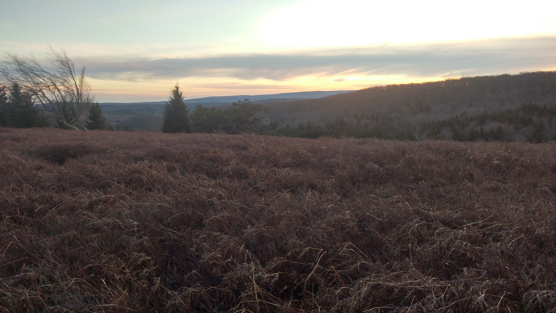
I would need to use the Raven Ridge Trail and go north-north-west to rejoin the final junction with the Bear Rocks Trail, which would take me back to the trailhead. Progress was slow as the Raven Ridge Trail itself had its frustratingly boggy moments as well. The light was fading and I knew I would be hiking in the dark. I was glad for the privilege, honestly. As night fell, I swear I saw more shades of scarlet, purple, and brown than I thought existed. It was an extraordinary combination of colors and probably the best, lasting memory I’ll have of this place. I wish I was a better photographer so I could catch the moment as it exists in my memory.
I reach the Bear Rocks Trail without incident. The way back was familiar and I knew it to be relatively dry. Relatively dry, in this place, though, was still damn wet. Sure enough, as I head back east the sun dips below the horizon and the sunset turns to twilight before twilight turns to low light. There’s no moon and I rely on only my headlamp to create the cone of light I need to guide me back to the fire road. The fear of the wilderness at night never really goes away, so one of my hands wields a long stick while the other fingers nervously at the bear spray on my hip.
At about 6:30, I finally make it back to my car. The heater goes on immediately as I warm up, wash off, get out of my boots and feel civil again. I stay another half-hour to savor the place before going back to the city. I can’t say I’d be back anytime soon, though. Dolly Sods is a special place, but I can’t say it’s meant for human consumption.