
Grayson Highlands
I had this hike on my radar long before I actually visited. It is a 6-hour drive from where I live, so I had to get the timing right. The correct timing happened shortly after New Year’s Day in 2016. Occurring on a long weekend, I took the drive out the day after, arriving at my destination at midnight after a long drive down I-81 and into the rural areas of southwestern Virginia. I would sleep in the back of my car and set out the next morning.
I would say that this is the spookiest place I’ve ever visited. As I tried to go to sleep, I was quite unnerved by a series of lights I saw flying through the air perhaps 10 miles off in the distance at perhaps 8 to 10 thousand feet in altitude. I kept looking at these lights and trying to figure out what they were. They flashed red, green, and blue in the sky like a Christmas ornament and flew in an elliptical pattern over the valley seemingly bobbing up and down in elevation. I knew it couldn’t have been a plane because a plane could not have maneuvered that quickly. I thought it could be a drone, but I couldn’t fathom a drone flying that quickly and at such a high altitude for such a long time. It was also very windy and I didn’t believe a drone would be able to fly such a consistent pattern without being affected by the strong winds.
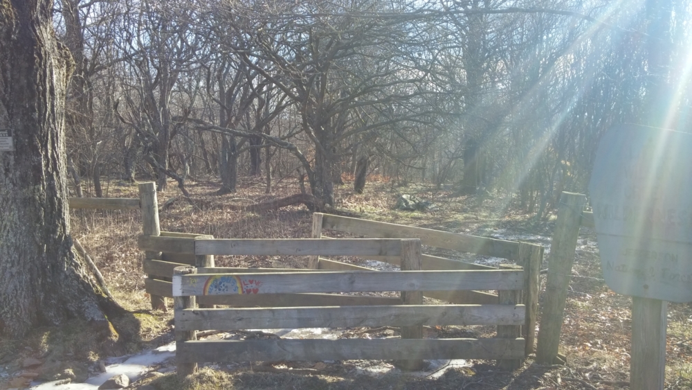
The parking area at Massie Gap is quite exposed and the fact that I was the only car in the trailhead parking lot left me frightened to be by myself with this unknown light so close to me. At times it appeared to be coming right towards me. At the end of the day, I concluded it had to be some sort of prankster doing this somehow with a very advanced drone. I managed to sleep a few hours, but woke up around 3 am to find the lights still there and still flying around.
I was very unsettled at this point. I remember that while doing my research into this place back at home, a search result popped up regarding a bigfoot sighting. There is definitely something spooky with this place. I figured I would sort it out in the morning when the daylight would expose what these lights were. When I awoke, though, no signs of the lights could be found.
I make coffee and cook a freeze-dried breakfast in the car before setting off. I turn on the car’s engine and heater to get some warmth in me for a few minutes. At elevation in January, the wind chill was forecasted to be around 0 degrees. This was certainly the coldest hike I’ve done in recent memory. As usual with winter hikes, getting out of the warm car was the most difficult part. I set off at a quick pace to get my body moving and warm.
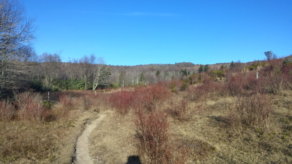
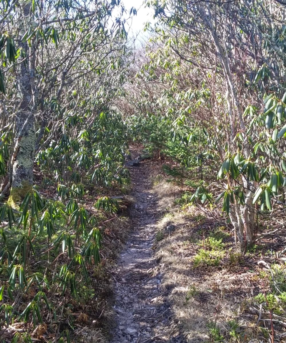
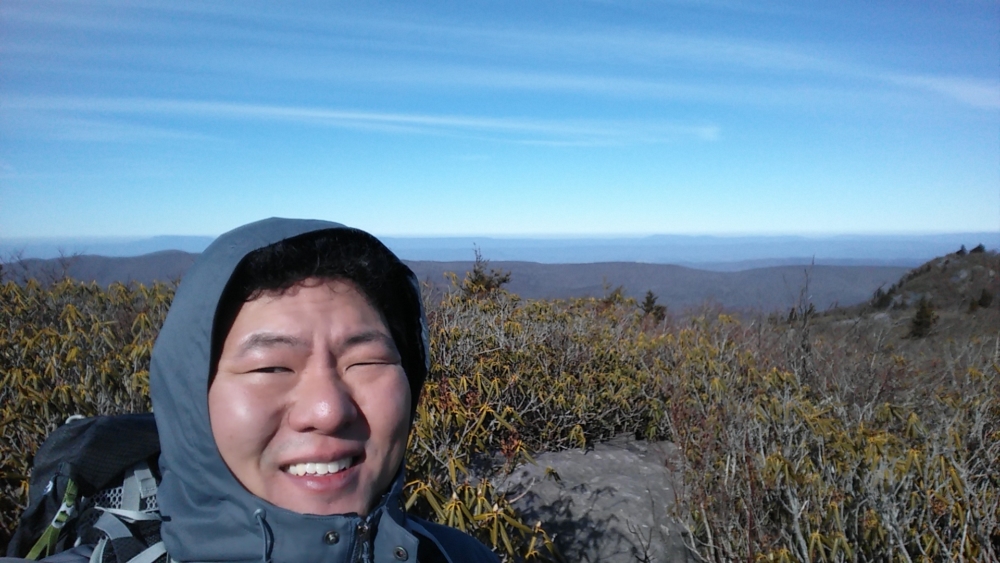
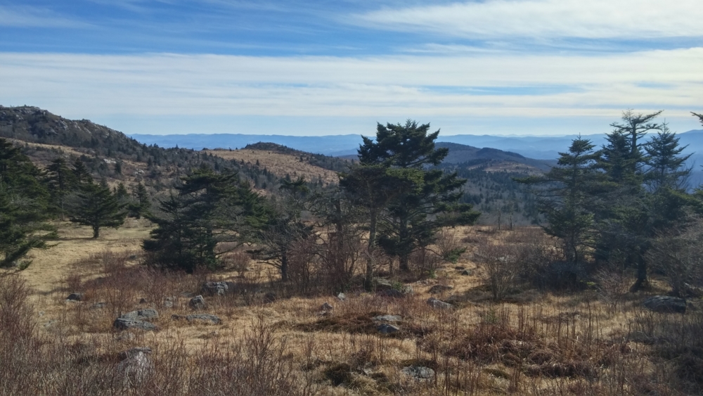
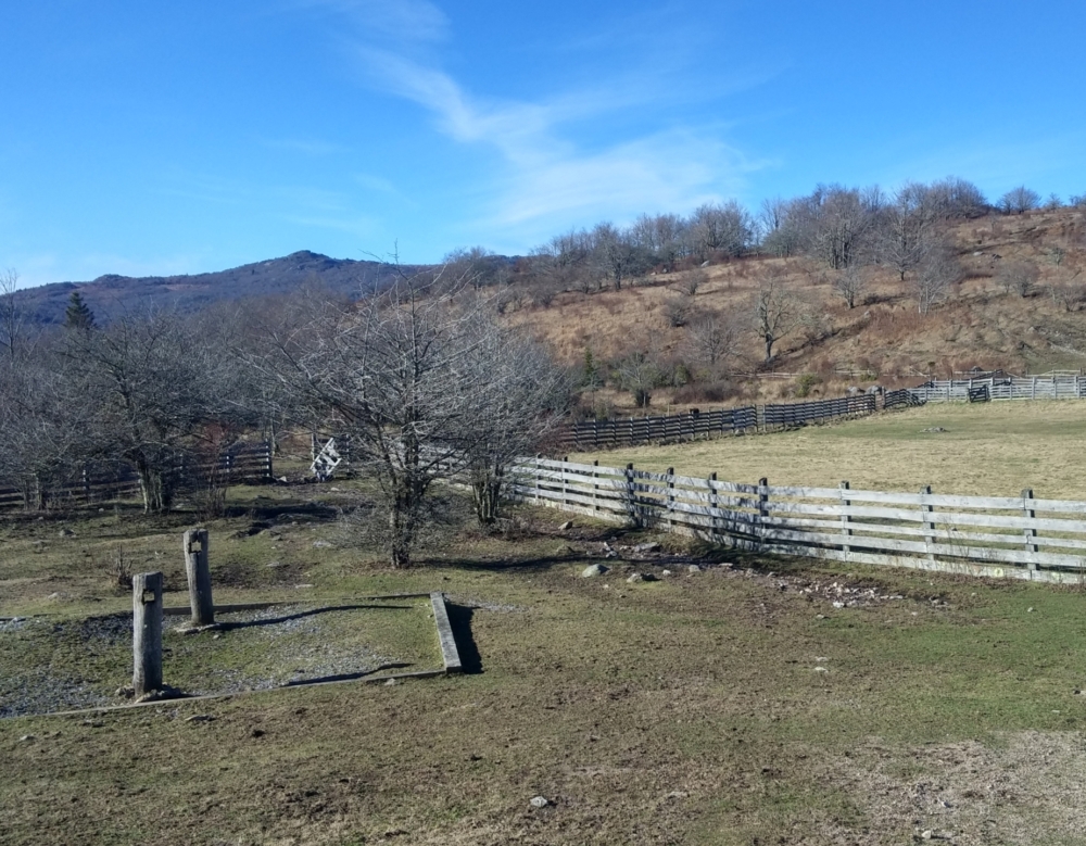
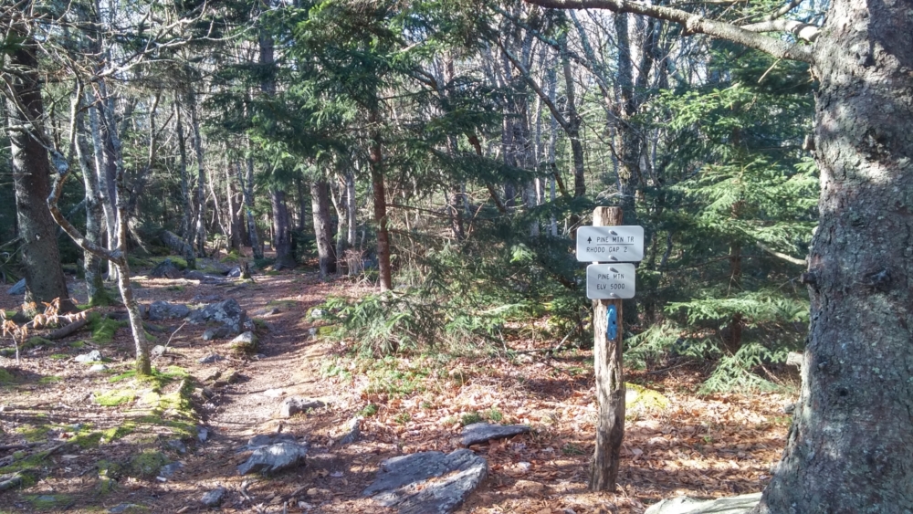
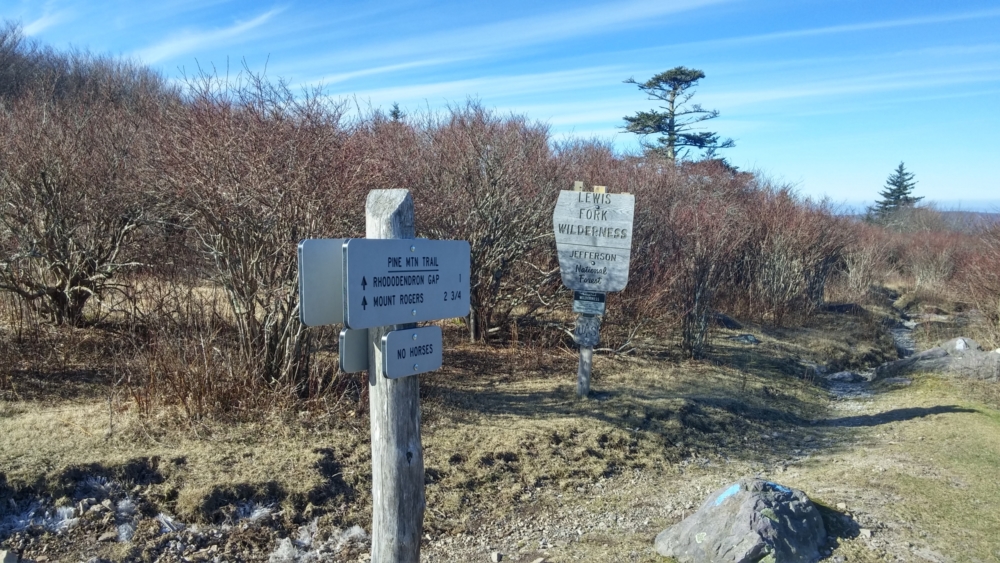
I know right away that this was going to be added to my favorite hikes list. This hike featured alpine flora, was mostly above treeline, and just had a sense of being removed from the rest of civilization. Walking through this place is spectacular. My route (please refer to the Hiking Upward link in the sidebar) accessed Mt Rogers (the tallest peak in Virginia) via Pine Mountain. Though long in distance, the gentle elevation changes and smooth paths made traveling smooth and effortless.
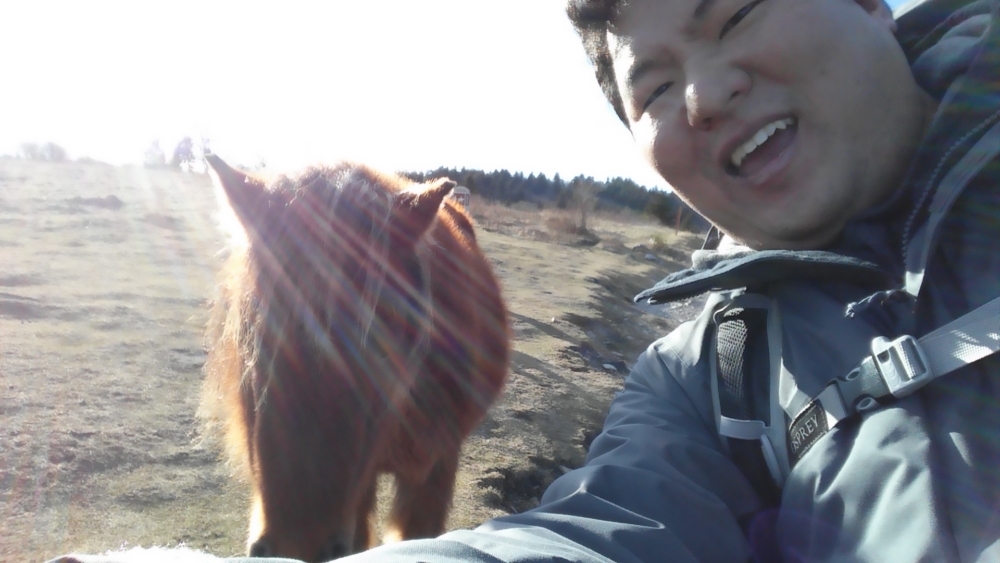
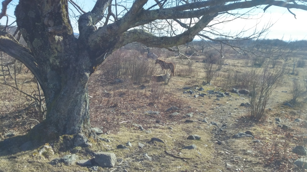
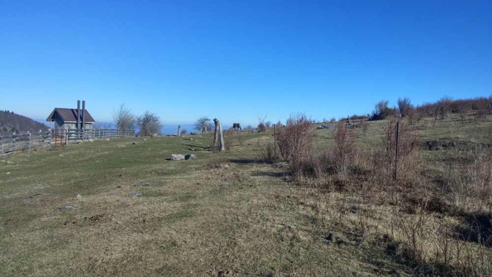
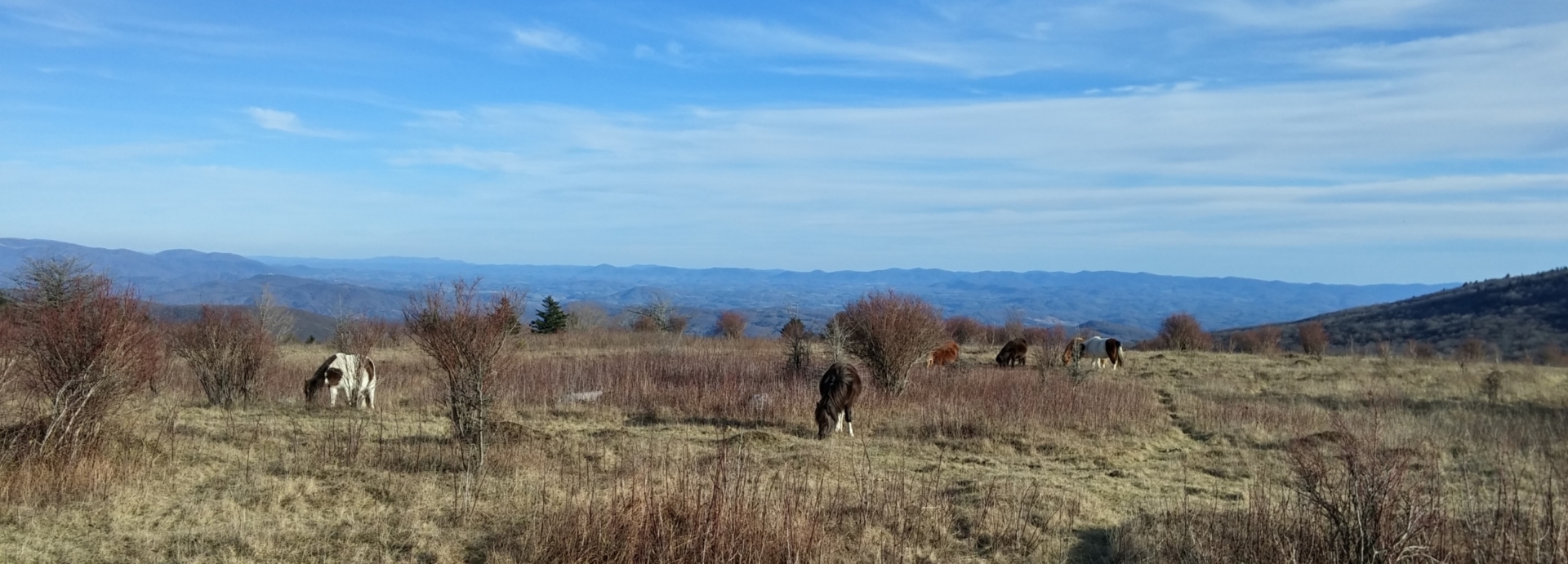
While I’m sure it’s different in warmer months, I enjoyed the unparalleled solitude of this hike. I saw only 4 other hikers the entire day – one traveling solo and a group of 3 European tourists. The only negative part of the hike was the wind. At one point, the wind was so strong it knocked me over. It was bitterly cold and I simply had to keep moving to stay warm. I could not help but stop to see the horses. I imagine the horses must be accustomed to people because they did not flinch as I came near them.
Thinking back on the vaguely paranormal experience I had the night before, I wonder what strange things these creatures, like sentinels of this strange land, have seen. My mind turns off for while as I get into the normal rhythm of a hike that puts me in a trance. The hours and miles go by. I started early and knew my pace was on point to finish well within daylight.
As I approach the second half of the hike, I knew I had to do some navigating. The original route from Hiking Upward excludes the summit of Mt Rogers, the tallest peak in Virginia. However, I added it in. While the tallest peak, it was in treeline and not prominent. The actual summit was a slab of rock 3 feet off the ground that took me about 10 minutes of scavenging the forest to find. Underwhelmed, I made my way back down.
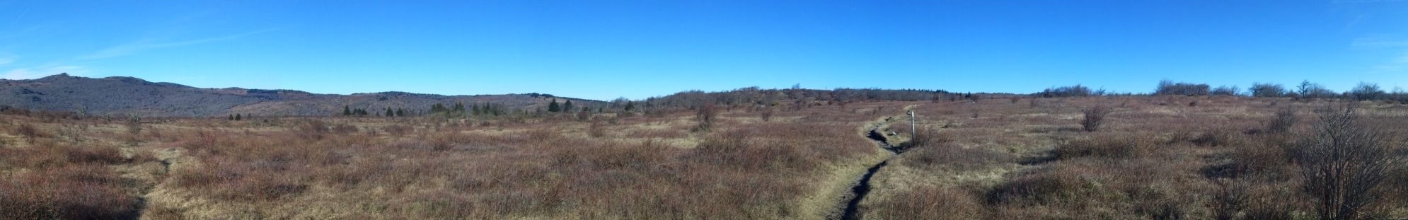
I spotted a lean-to shelter and went in to heat up some water and make an instant pumpkin spice latte. It was the most relaxing 30 minutes I had in a long time. My body warmed as I drank the beverage until the cold overwhelmed me and I had to get moving again. The second half of the hike was on the grassier side of the highlands – green and beautiful. Due to how easy the walking had been, I could have gone for much longer. I was almost disappointed at having seen my car. It had been 9 hours and 16 miles, but I felt invigorated in that spectacular landscape and could have gone for much more. it was almost sundown, though, and I had 6 hours of driving ahead of me to get home. I knew I would be back here again.