
Linville Gorge
This hike occurred on day 2 of a 2-day hiking excursion to the border regions of North Carolina and Tennessee. Day 1, spent at the Roan Highlands, traversed the actual border between the two states on the Appalachian Trail. For day 2, I went east into North Carolina and into the Pisgah National Forest to check out the twin peaks of Hawksbill and Sitting Bear Mountain, as well as hike into the Linville Gorge.
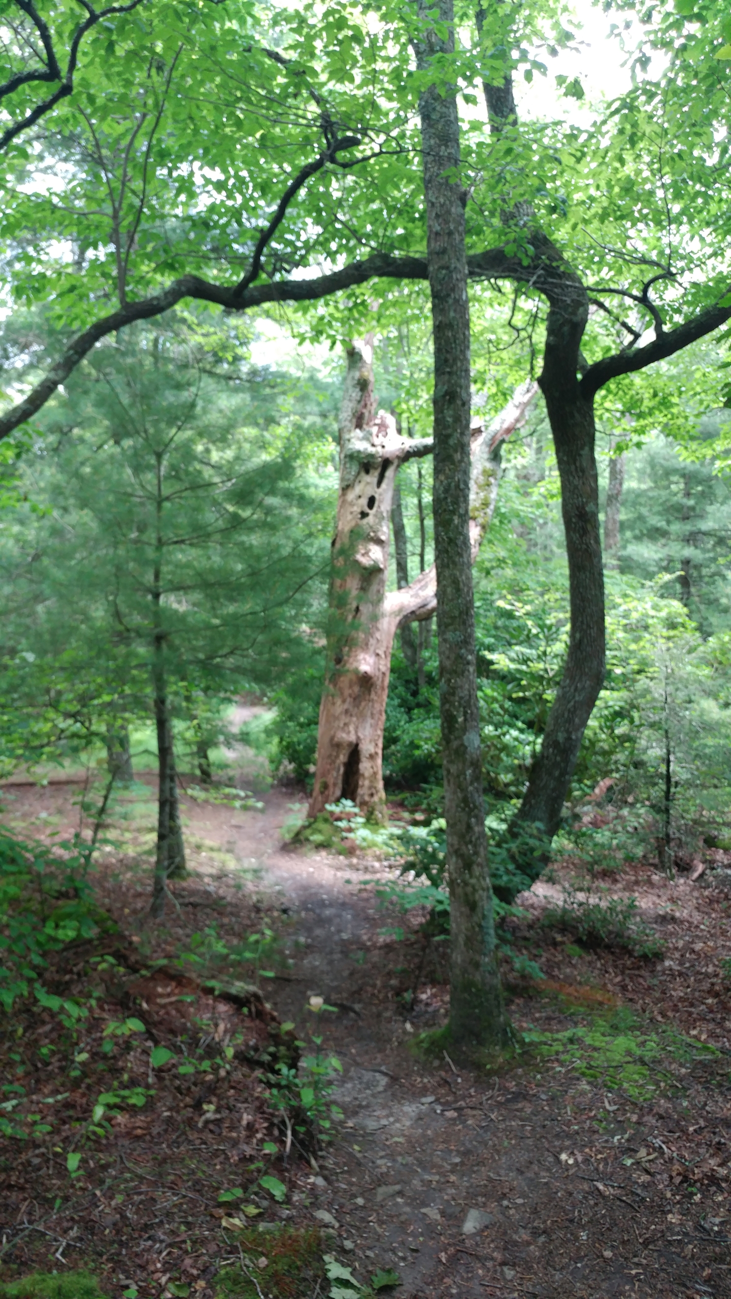
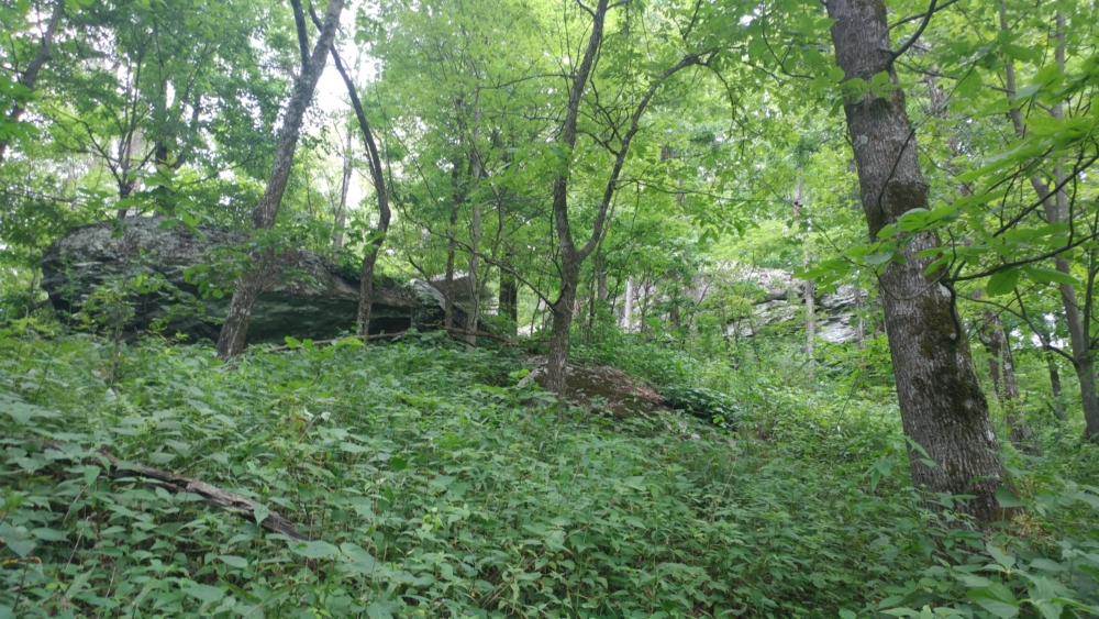
As soon as I reached the trailhead, I realized that this hike was going to be sweltering hot. With the Linville River and its mountainside creeks, humidity was high. Though temperatures were slightly cooler than the day before, I was also about 2,000 ft lower in elevation on average. It felt like a rainforest.
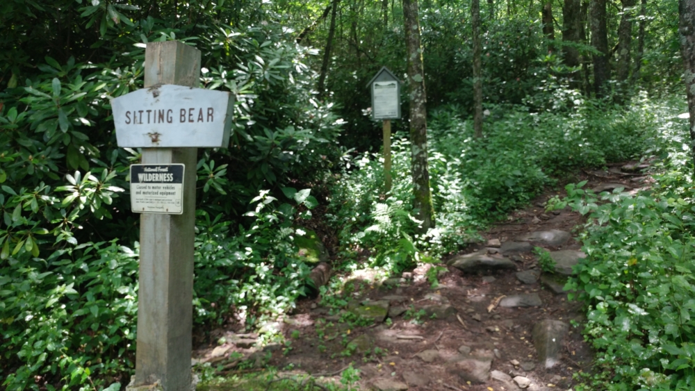
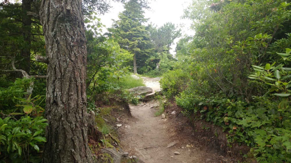
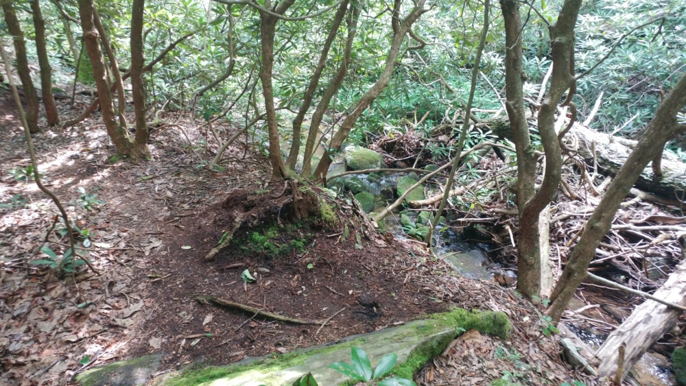
The total hike would be about 8 miles. I quickly discover, though, that it would not be an easy 8 miles. Though ascents were not terribly prolonged, they were much steeper than those at Roan Highlands the day before. This hike also had a unique layout. The trailhead is approximately the center with 3 trails that go like spokes to the 3 main features of the hike. Hawksbill Mountain lied approximately 1 mile south, the Linville River was about 1 mile west, and Sitting Bear Mountain was about 1 mile north. The Jones Ridge Trail is the main artery connecting all 3 parts.
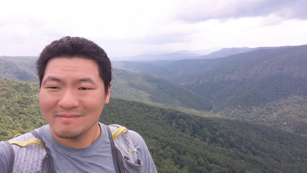
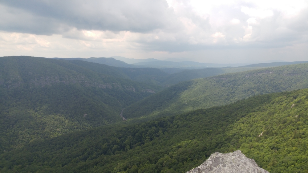
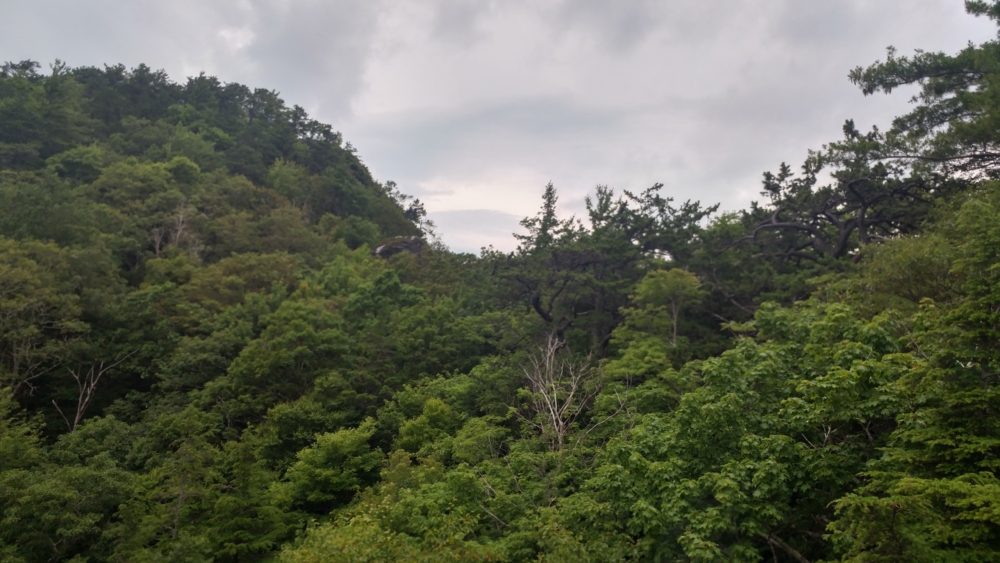
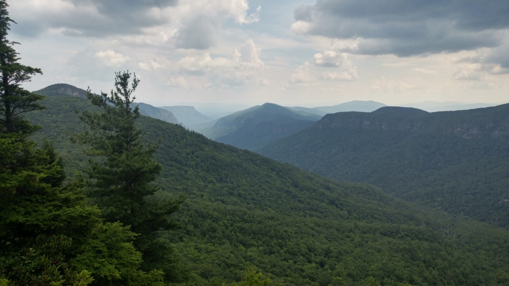
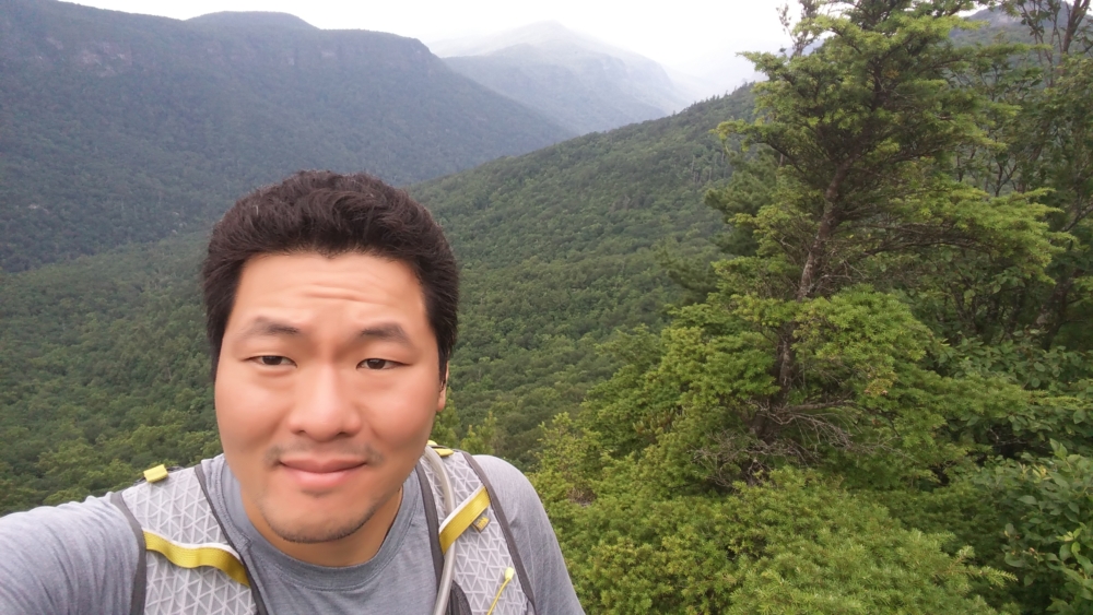
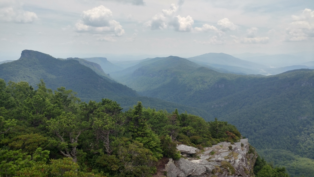
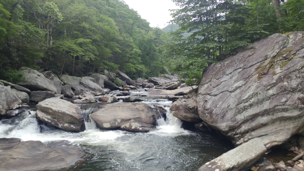
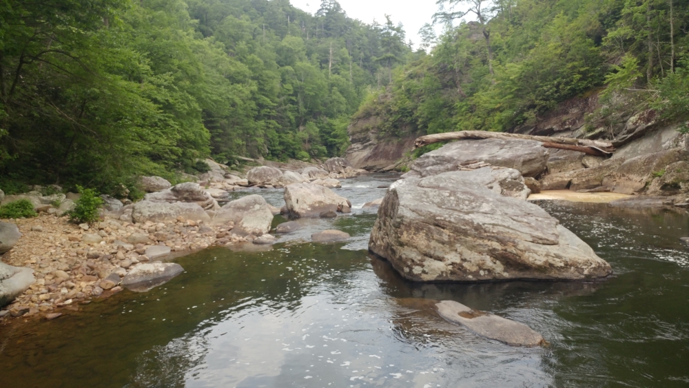
I decided to do Hawksbill Mountain first to the south. The view from the summit is often considered among the best in the Appalachian. As soon as I reached it, I could see why. It offered a unique, 360-degree view of the area. The unmistakable profile of Grandfather Mountain was clearly visible in the north. The Linville Gorge with the river running down the middle dominated the west. The twin peak of Sitting Bear Mountain stood at the north. Cliffs stretching towards the south offered views of peaks with names I didn’t know.
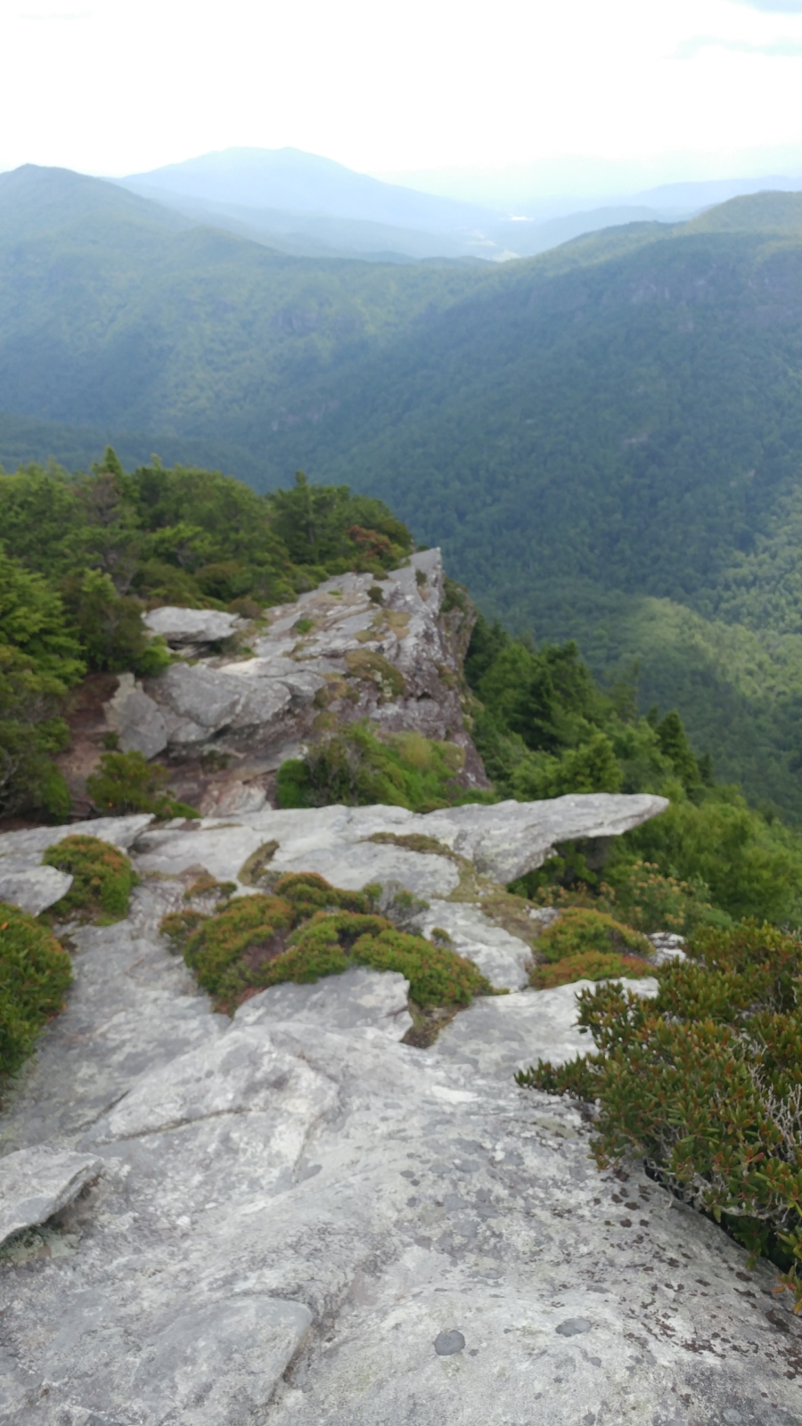
My pace on this hike was extremely lazy. I knew after this hike I would have to go back to my life in the suburbs. So, I simply sat enjoying the view for 30 minutes or so before backtracking on the Jones Ridge trail to go north towards Sitting Bear Mountain. The ascent to this mountain was surprisingly steep – really the steepest ascent I’ve made in recent memory. However, it was not a long ascent. I get to the highest point and traverse some of the cliffs. However, I go back and find an outcrop where I sit and chill for another 30 minutes.
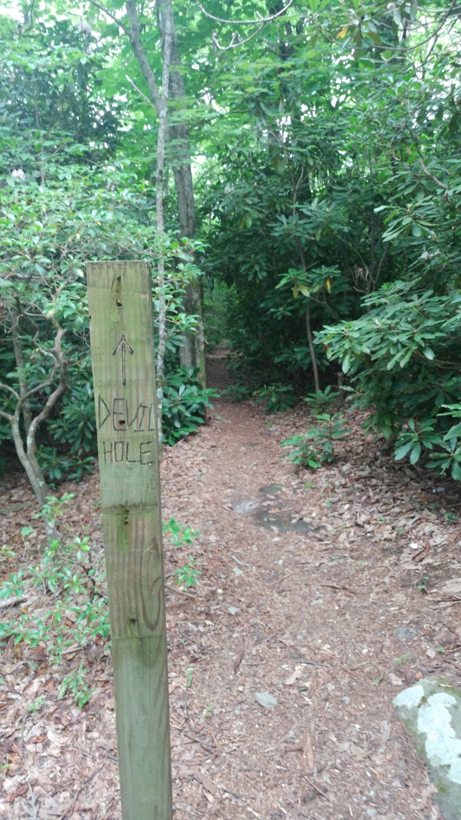
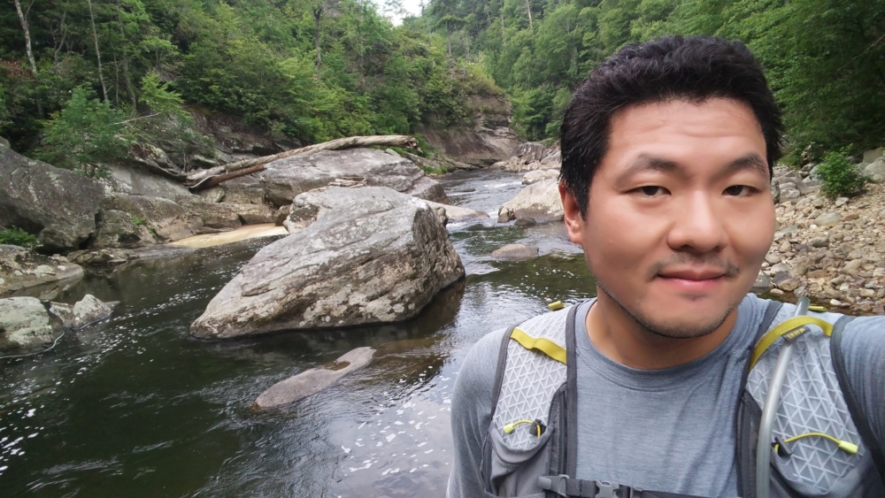
Part of me wanted to simply go back to my car at this point. I had sweat through my shirt and was extremely hot. Opting to only go for a hydration pack instead of a backpack, my water supply was also running low. There was still the 1.2 mile (2.4 mile round trip) excursion to the Linville River approximately 1,000 ft below. I decided to go for it, even though I would not get back to my car until very late.
At the bottom of the river, I get some refreshment dipping my head and extremities in the water. It was really refreshing! With all 3 features done, I make the ascent back up Devil’s Hole Trail. Following the ascent, I head to my car, clean myself a bit, and head home to Maryland.