
Presidential Traverse
Background
I believe most avid east-coast hikers know of the Presidential Traverse. It’s a rite of passage in a way. It involves 9,000 ft of elevation gain over 23 miles in its traditional form. The goal is to tag 7 peaks in the Presidential Range in the White Mountains of New Hampshire. Unfortunately, I was not able to do this. In fact, I didn’t really get close. I have no one to blame but myself as I made a myriad of mistakes. In all I only summit 4 out of the 7 peaks. I reached my last peak, Mount Washington, at the point of absolute exhaustion and decided to abandon my attempt. Of course, considering I was on top of a mountain, I needed an additional day just to get down with my tail between my legs the whole way.
Day 1
It was July 3rd 2015 and I arrive at Crawford Notch around 4pm after a 10-hour drive from Maryland. Choosing Crawford Notch as my starting point was my first mistake. The Presidential Traverse is traditionally a thru-hike and not a loop. However, I did not not want to figure out how to get from one end to the other. A few days ago as I planned this route in the comfort of my bedroom, it did not look like much to simply add a few miles and a couple thousand more feet of elevation to the traditional route, which was for wusses anyways.
I failed to realize that I may have gone out of shape a bit since having a child 3 years earlier, having gained about 40 lbs, and not having done a multi-day backpack since. I also forgot that when I climbed Mt Washington a few years earlier in the best shape of my life, it was really difficult. So, I made the hike unnecessarily more difficult to save a few bucks on a shuttle.
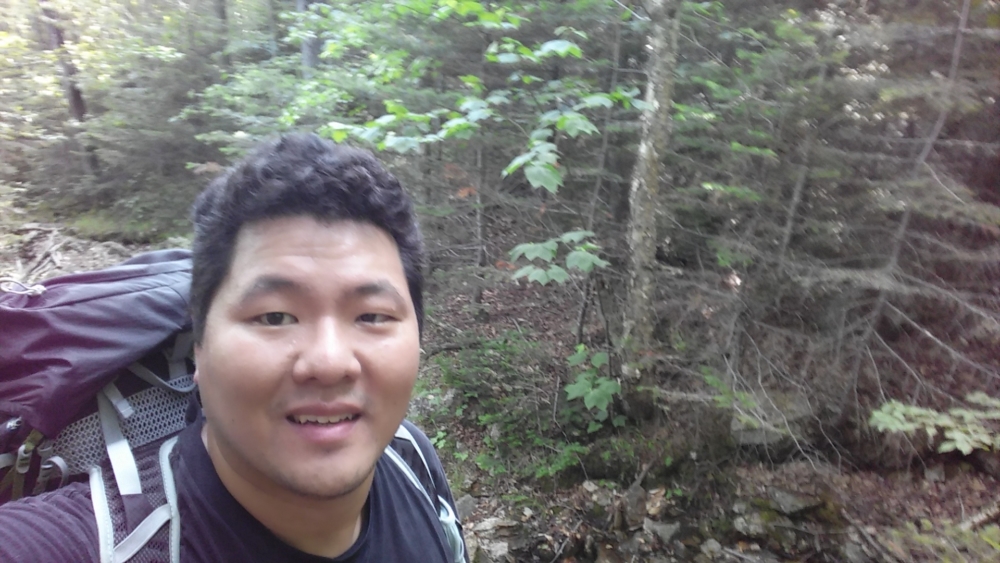
My second mistake was over packing and not packing the right stuff. It was July and I had useless snow treads for my boots, for instance. Furthermore, I somehow convinced myself that I may have to chop down firewood and brought a compact axe. It was craziness, in retrospect. My pack was very heavy. In my exuberance to get started, though, I decided to go with it and started the trip. Because I was cooped-up in a car for 10 hours, I had a lot of energy and started going east on Old Jackson Road at a swift pace.
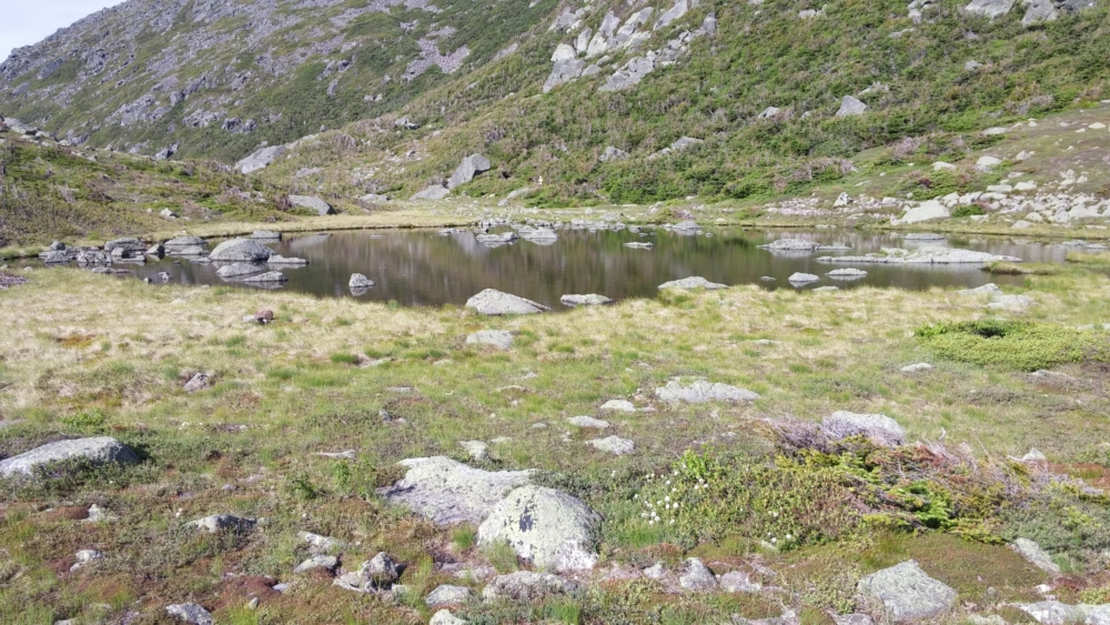
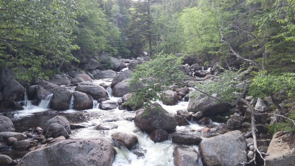
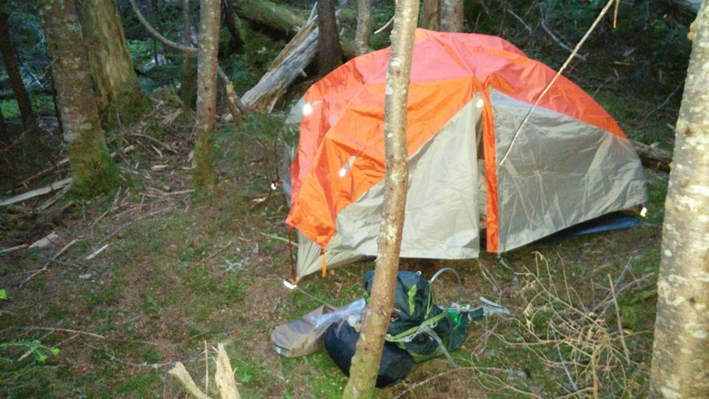
The first couple thousand feet of climb were not an issue. I still had energy as the sun fell and I thought it better to make camp in daylight. I pick a spot by a stream and had a nervous night. Even in my 30s, I find the idea of spending the night out in the woods by myself very scary. I wonder to myself if I’ll be in danger from bears, ghosts, or alien abduction. I decide not to cook any food because it was too dark to find a place to do so and I didn’t want the scent to attract wildlife. I brought a book on serial killers to read in my tent to help lull me to sleep.
Day 2
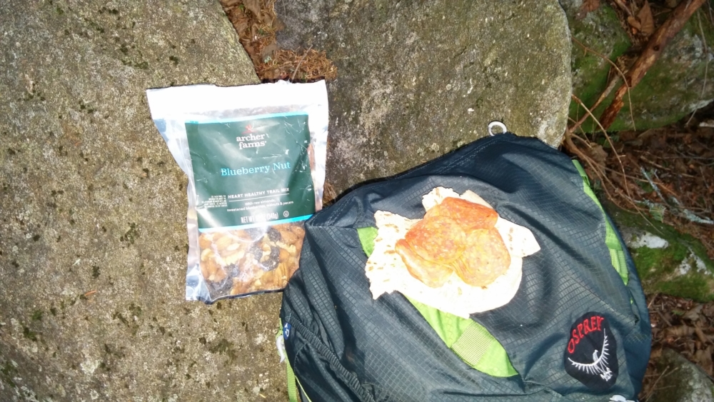
I’m happy to still be alive when I wake the next morning. It was about 6 am when I make the biggest mistake of the trip, which was to skip cooking food. I figured I needed to get an early start. In reality, I needed a hot and substantial meal. However, I underestimated the task ahead and decided to forego it in favor of a pepperoni sandwich and Clif bar. Of course, without cooking the food I brought with me I also didn’t lighten my pack any.
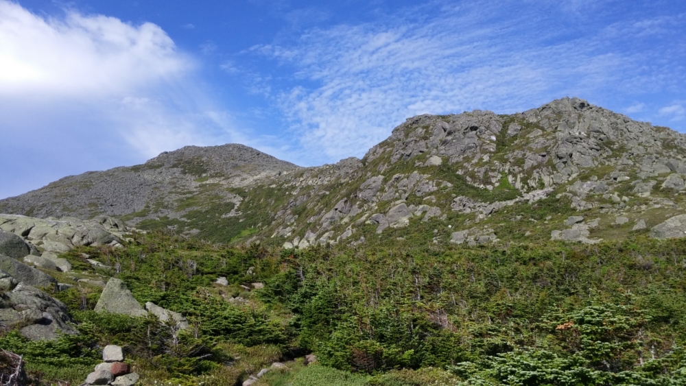
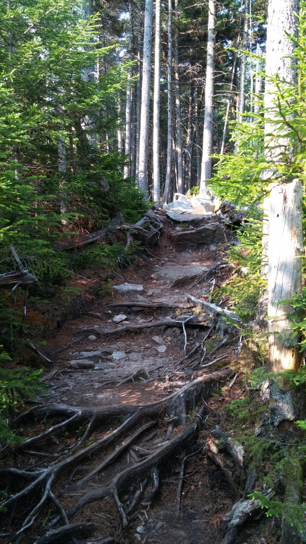
My first goal for the day was to get to the Crawford Path, which is the main trail atop the ridge that connects all the Presidential Range peaks together. I use the Madison Gulf Trail, which seemed to be never-ending, to get to the ridge. The first peak was Mt. Madison at 5367ft, which I did without too much issue. I first started to feel pangs of exhaustion when going for the 2nd peak Mt Adams. Getting to the base of each summit itself was quite a task as I was surprised at how far the elevation dipped and rose between each peak. I didn’t notice that my pace had slowed considerably.
By the time I descend Mt Adams and get to the base of Mt Jefferson, I’m amazed at how exhausted I am. I check the time and see that it’s almost 2pm. I had spent almost 8 hours hiking and I had only done 2 peaks – not even close to my goal. I consider if I should sit down and cook a proper meal. No! I am already behind and the cooking will add at least half an hour. I instead eat a handful of trail mix and a multivitamin. It was a huge struggle to make it up and down Mt Jefferson and back to the Crawford Path.
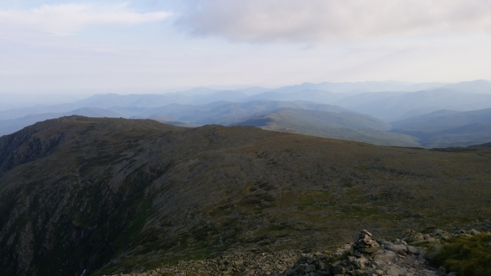
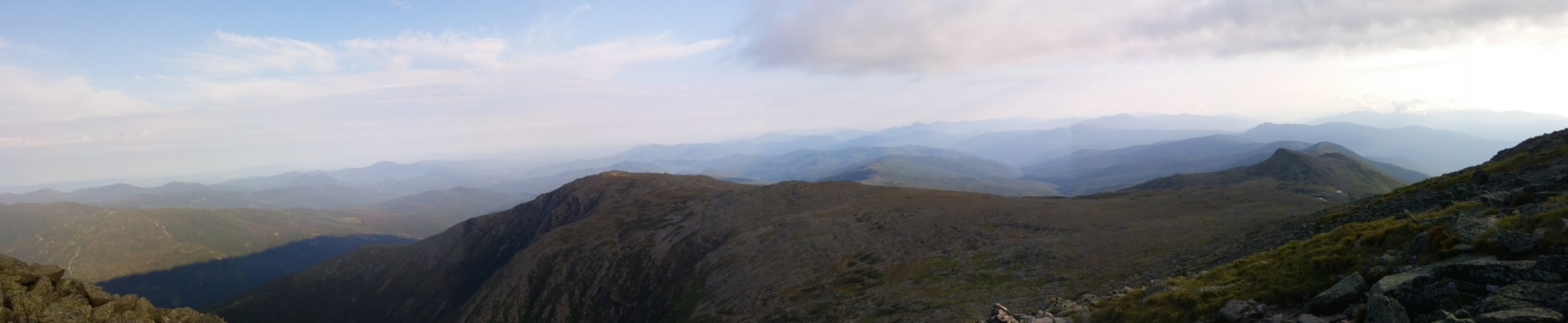
The Crawford Path serves as the main artery for the hike, going southwest with offshoots that go up to the summits and then back down to the main path. This makes many summits optional, in essence. I had this in mind as I approached the offshoot that lead to the summit of Mt Clay. While the Presidential Traverse at its core includes peaks named after the Presidents, there are other optional peaks along the way that people on the internet consider a more extreme version of the hike. In the comfort of my bedroom, I of course wanted to do the extreme version. However, sweaty and exhausted, I decided that Mt. Clay could fuck off. Henry Clay was never even a president. He tried, but he failed and his mountain could fuck off as far as I was concerned.
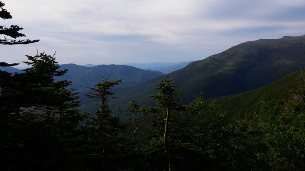
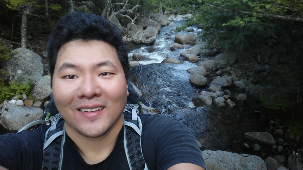
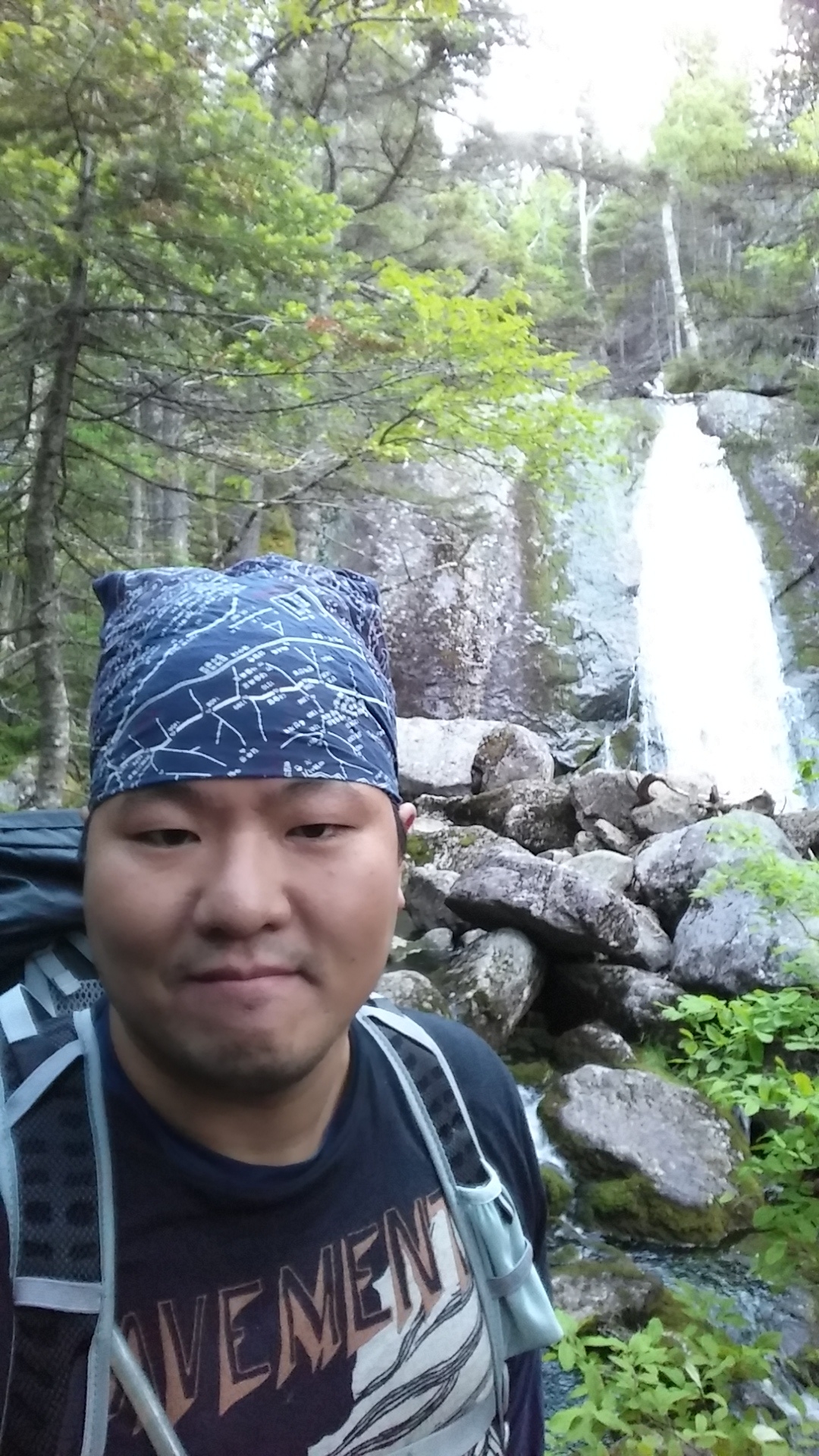
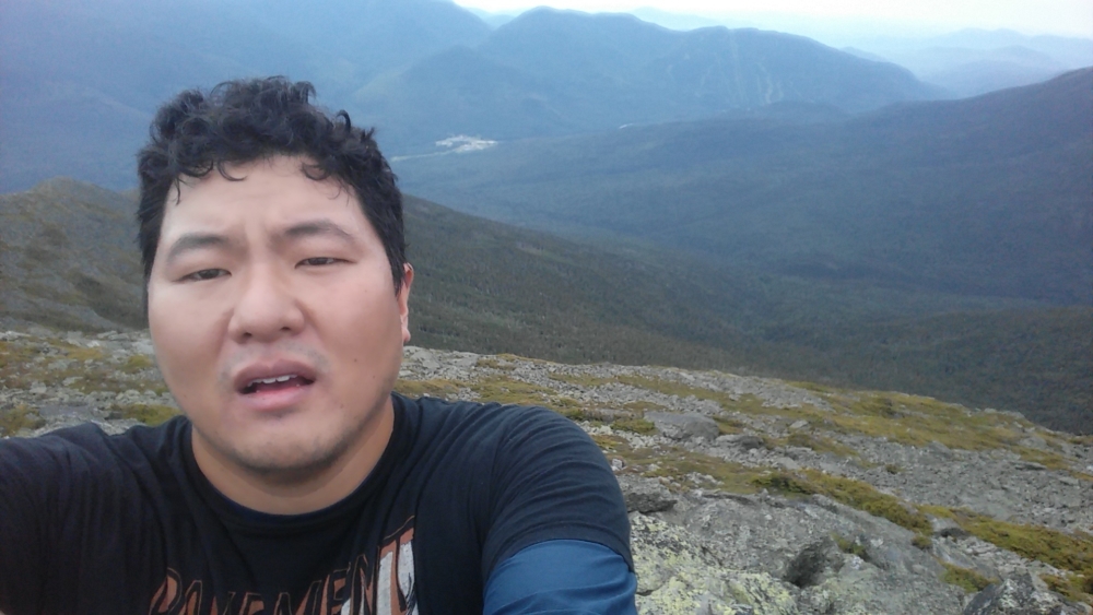
At this point, Mt Washington was visible. This peak had huge prominence, which is a big reason it’s so famous. However, this meant I’d have to descend and ascend probably another 800 ft or so. My feet were hurting quite a bit. I had neglected to cut my toenails before the trip, which were impacting against my boots and driving them into my cuticles. In all honesty, I was miserable. I also stop taking pictures because I couldn’t raise the energy to give a shit at that point.
I move slowly down the Crawford Path and then start the climb up to the summit of Mt Washington. I can see the visitor’s center where I know there will be hot and ready food. I just had to get there in time before they closed. The train that goes up Mt Washington passes within view as I struggle with each step. I envy those passengers at that moment. I knew that there was no way I would attempt any more peaks after I got the top of Mt Washington.
Even if I overcame my exhaustion, my feet were battered. Most importantly, my spirit was battered. I make it to the visitor’s center a little after 6pm. I find an attendant and learn that though they were not closed, they were closing and all the hot food was gone. “Do you have anything hot?” I ask in my most non-threatening voice. Yes, hot cocoa would do. I wasn’t normally a hot cocoa drinker, but it was heavenly at the moment.
Inside the visitor’s center, I savor being warm and comfortable until the place truly closed in 20 minutes. I wonder if I should ask any of the motorists who drove a car up there if I could get a ride down to end this misery. I decide against it as my instinct for survival couldn’t trump my instinct towards social anxiety. The summit of Mt Washington is one of the windiest places on the planet. So, I knew I shouldn’t set up camp above treeline. The quickest way to get in the trees again from that location was to take the Lion’s Head Trail down to the Hermit Lake Shelter.
To me, that shelter meant safety and comfort. I had slept there during my first trip to the mountain. Like this trip, staying there was not intended. During my first trip with my brother, we stayed there after abandoning our first summit attempt due to heavy rain. I found it coincidental that I would seek this place again for shelter from plans gone awry. On the map, the Hermit Lake Shelter is only 2.2 miles form the summit of Mt Washington. However, I remembered the crazy elevation change from my first trip and knew it would take a while to get there.
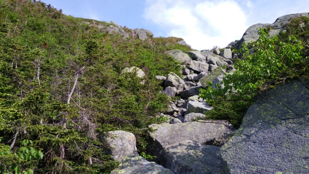
Much of the trail involves descents so extreme you have to sit and scooch your way down. Night falls halfway down and I don’t reach the shelter until 10pm. Each wooden lean-to there accommodates two tents. Most are full, but I find one with one half unoccupied. I can tell my late arrival has awoken and startled the other inhabitants of the shelter. I pay no heed, though. I was in survival mode, which meant I could do whatever I wanted. I’m out like a light as soon as I’m in my sleeping bag.
Day 3
The next morning I had nothing else on my mind but leaving. I pack my things and am out of there by 6 am. Hermit Lake, however, is still a few miles and several thousand feet from Crawford Notch, where my car was parked. It takes a few hours to get back down. However, I managed to overcome my exhaustion, eat decently, and have fun while heading down. I knew I was done and that I would no longer have to climb anything.
I get to my car and simply sit and savor the experience for a few minutes before heading off to find something substantial to eat and start the long drive back to Maryland. In conclusion, the White Mountains remain, for me, some of the toughest hiking out there. It’s the most difficult for me on the east coast and even more difficult than some mountains higher in altitude that I’ve done. There is simply no easy way up. For that reason, I will never fail to give these mountains the respect they’re due on my future visits.