
Shenandoah National Park
Living in the DC Area for most of my life, I felt this hiking guide wouldn’t be complete without mentioning Shenandoah National Park.
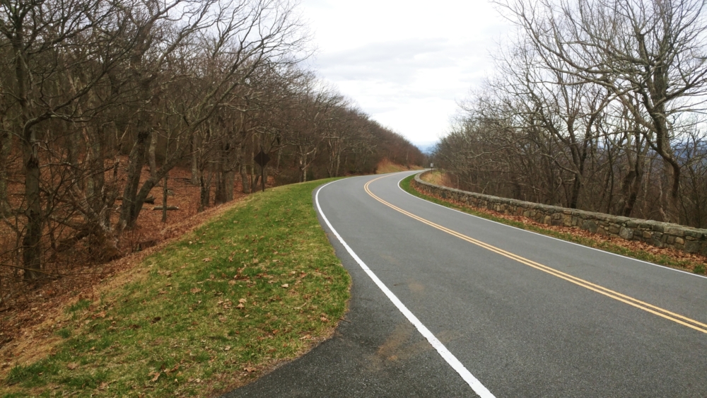
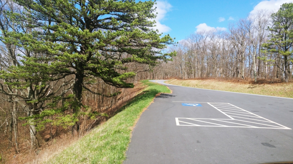
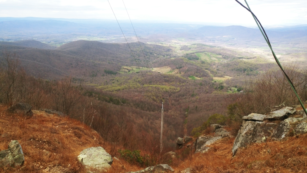
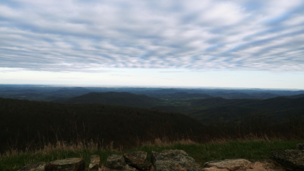
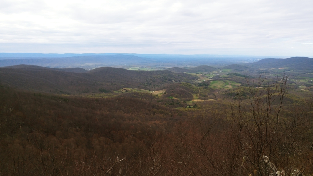
It is great for families or tourists who don’t want to do a lot of walking. Skyline Drive is the main artery through the whole park and goes up along the top ridge of the Shenandoah Range. As a result, there are many great views from the car.
Shenandoah is not a favorite of mine to be honest. I simply feel that I’ve done everything worth doing here since I’ve been coming here since childhood. It’s also not really challenging for someone who has hiked for years. Challenges can be found here, but you kind of have to string together your own route. Overall, Shenandoah is best suited for amateur hikers. No shame in that, though, since I cut my teeth here as well.
I also dislike how most of the hiking trails are accessed through the aforementioned Skyline Drive, which is already at high elevation. Most hikes start at their highest elevation and then go down. This means one relaxes on the way down and does all the climbing coming back. My personal preference is to do the climbing work in the beginning and relax going down. I suppose this is because by the time I start a hike I would be full of calories and antsy to go after having been in a car for a while. One also has to keep enough energy in reserve for the climb up, and gauging that correctly is sometimes difficult.
I admit that I don’t know the southern part of Shenandoah that well. I’ve done a few hikes there, but that was in my teens and twenties when I had the luxury of time. Going further southwest starts to turn into a lot of driving for a hiking day trip.
There are gems there that I’m missing, I’m sure. However, here a few hikes from the northern half that I have found noteworthy
The Premier: Old Rag Mountain
Details from Hiking Upward here!
This is probably the best hike in Shenandoah and there is also no entrance fee to do this since this is accessed by going through Sperryville, VA instead of going to Skyline Drive. Starting at the bottom means that this hike has a traditional mountain elevation profile (up and down) as opposed to other hikes in the park that start at high elevation. It’s also kinda short (under 10 miles) and has many unique features.
This trail is heavily trafficked most of the time – even more so now that it has shown up in several Top 10 Hikes lists from various publications. The lead-up to the summit is definitely interesting and probably the hike’s defining feature. There is some fun climbing on boulders that is quite thrilling as it involves a bit of squeezing yourself through small openings at times. The hike can also feel treacherous at times, which gives it a bit of thrill.
The view from the top is also very good. I would say the latter half of the hike is a bit boring – especially if going solo. The way down is mostly on a fire road, which is wide and made of fine gravel. In summary, kinda monotonous. For groups, though, it is perfect. Most visitors are so thrilled to have made it to the top, the fire road offers a relaxing setting to converse and relive the experience. I have fond memories going down that road with various groups of friends over the years.
The following video is my most memorable trip here with a start time of 2 AM on a cold winter night
Top Tier: White Oak Canyon
Details from Hiking Upward here!
Another popular and heavily-trafficked hike. This trail features absolutely huge waterfalls. I’m not sure exactly how many, but they were numerous. This has a trailhead at the bottom that can be used, or one could start from Skyline Drive.
Other Notables: Hawksbill Mountain / Overall Run / Cedar Run
Hawksbill Mountain Details from Hiking Upward here!
Besides Old Rag Mountain, Hawksbill Mountain is the only other major exposed summit in the park. However, it pales in comparison to Old Rag. The route is also very short. When I do this hike, I usually tack it on to nearby Cedar Run. You should be able to piece a route together using the maps at the trailheads.
Other Notables: Hogback Mountain and Little & Big Devil Stairs
Details from Hiking Upward here!
These hikes are located near the Matthews Arm Campground. Using the link above and viewing the map, the connection to Little Devil Stairs can be found. I like this area because you can climb above Skyline Drive and have great views. It’s also not as crowded as other hikes. However, this crosses several trailheads and Skyline Drive multiple times. So, it’s not the best at giving you the feeling that you’re in the wilderness.
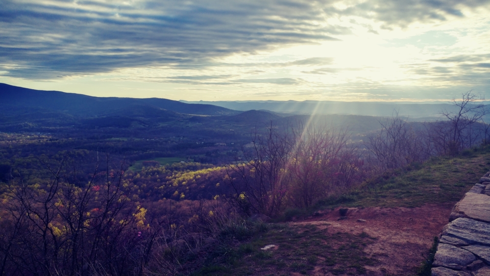
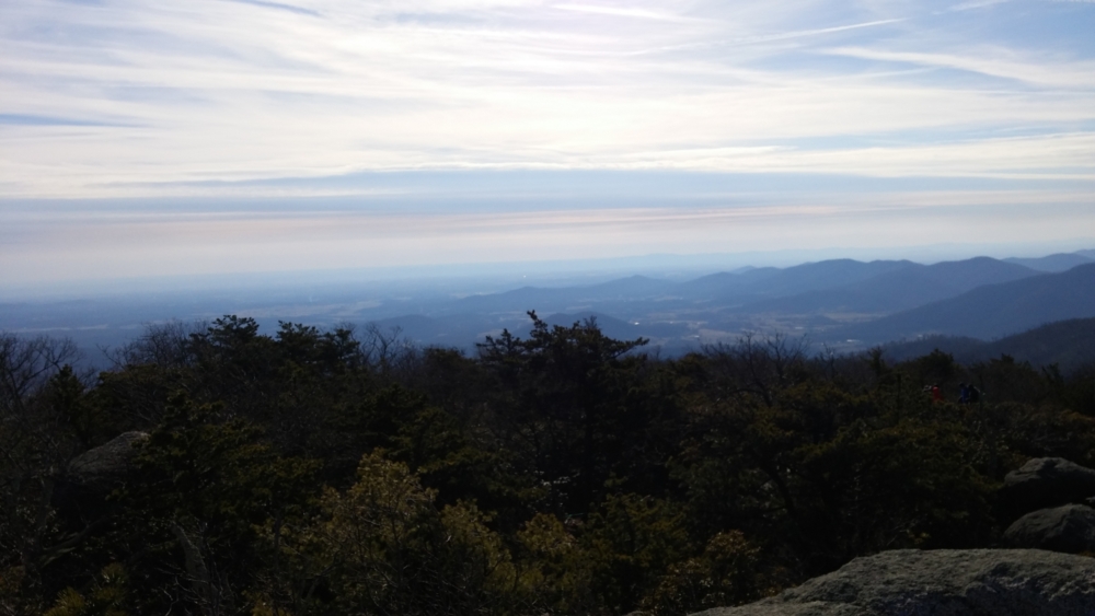
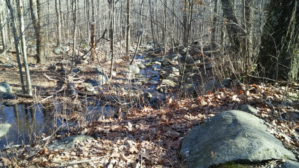
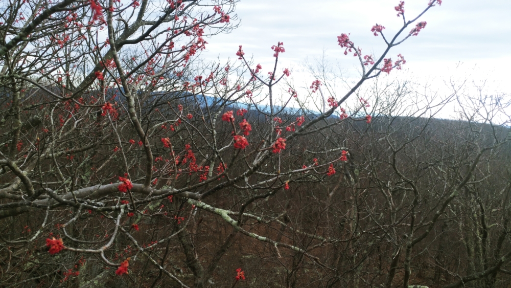
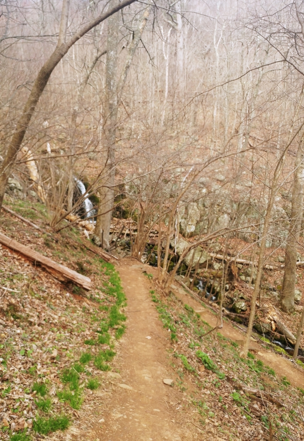
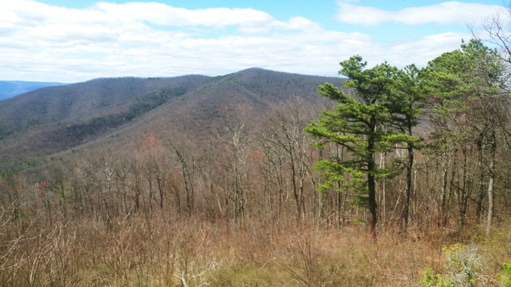
The following are just photos from various trips across the years. It’s kind of a hodgepodge….