
Three Ridges Wilderness
This is my go-to hike when looking for something hard to do. Doing the entire loop is no joke. It’s over 4600 ft in total elevation gain over 14 miles. I have recently started to trail run portions of this, but have never done this in less than 6 hours. Hiking it would take more like 8 – 10 hours. Additionally, once you commit to doing the loop, you really have no other choice but to complete it because there are no convenient exits where you can bail out. The hike doesn’t traverse any facilities, parking lots, or roads. I like this aspect of the hike because it is a true loop into isolation, which is what I look for.
One could do the best part of this route as a medium-length day hike, though. The best views are well within the first 40% of the loop assuming you’re going clockwise. So, one could simply turn around once reaching the high point after the last view of the valley. This portion is also almost all climbing. So, one could feel relief when returning to the trailhead since it will be mostly downhill.
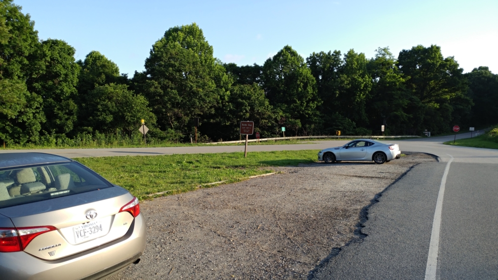
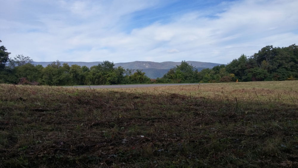
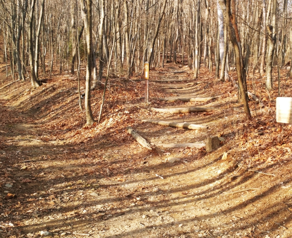
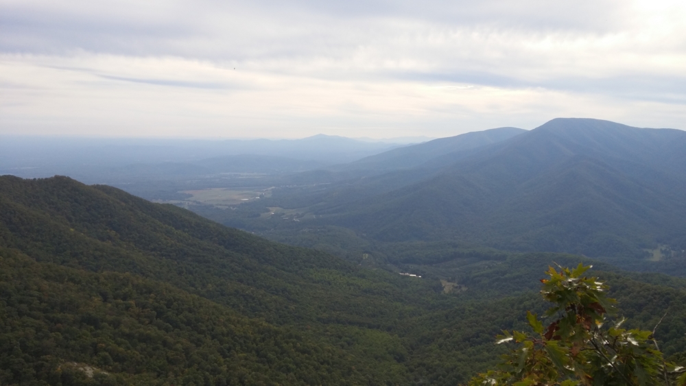
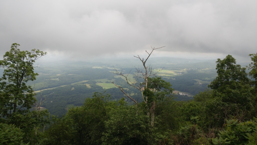
The parking lot at the trailhead is quite big and right off the Blue Ridge Parkway. Please use the Hiking Upward link in the sidebar to get directions or route specifics. Even when the Parkway is closed, this parking lot remains open. So, it’s a great all-season option. Starting the loop is easy, as you simply go southwest on the Appalachian Trail, which is always blazed white. In fact, the entire first half of the hike is on the Appalachian Trail. So, it would be a challenge to get lost. While the hike begins with a downhill, it quickly ascends. Along the way, there are great, panoramic views to the east.
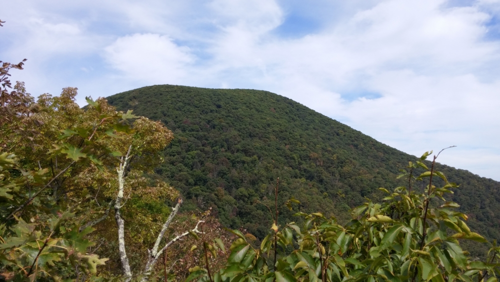
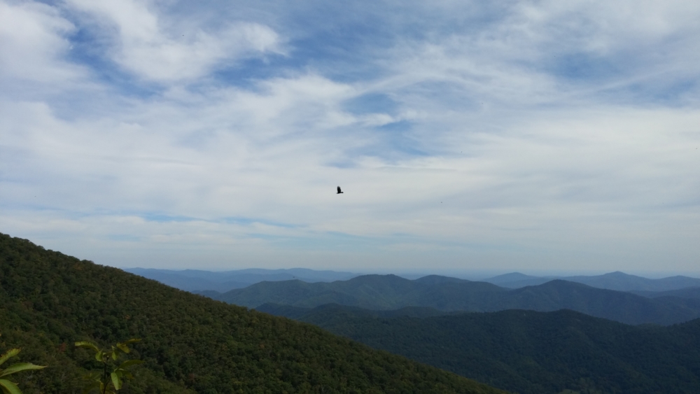
The route keeps climbing with periodic vista points until it gets to the high point. The high point is noticeable because the trail descends drastically after you reach it. For quick day-hikers, this would be the turnaround point. To continue would be to commit to do the whole loop. Continuing is tempting because you quickly lose a lot of elevation, but at a comfortable grade. Furthermore, the views are amazing. In the winter, especially, the lack of foliage really open up the surrounding landscape and make you really feel like you’re on top of the world.
One must remember, though, that every fast descent must be paid for by a later ascent. As an athletic challenge, the 2nd half of this loop is much more difficult because you’re making up for that descent the whole way back. The descent following the high point of the trail culminates at the Harpers Creek Shelter. This shelter is the last semblance of comfort for the rest of the hike. The lean-tos and compost toilet are extremely welcoming. I always have a meal and rest here since there’s a comfortable place to sit and be shielded from the elements for a while. It’s important to rest because the rest of the hike is almost continuous ascent.
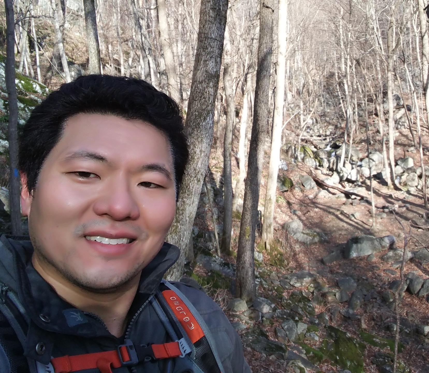
The way back honestly gets a little miserable. There are beautiful waterfalls along the way. However, they get repetitive as the miles of continuous ascent drag on. This part of the trail is also almost always deserted. It’s 7 miles into the wilderness, after all, and I always feel extremely alone at this point of the route. This always gives me motivation to muster the energy to make the difficult trek back.